Aliceville, Alabama to Amory, Mississippi – 95.5 Miles
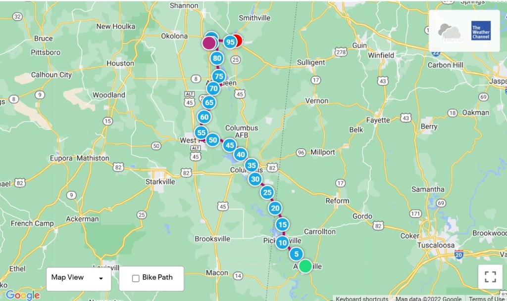
After looking at the maps, I’ve decided to make some adjustments to the route. The upcoming segments send me in the “wrong direction” too many times, which is distance I’ll have to make up later. To get to the Lewis and Clark Trail, I’ve been following the Southern Tier and Underground Railroad routes, east to west and south to north respectively.
Sticking to the route as planned would have gotten me there eventually. However, it added a couple of hundred miles to the trip. At “car speed”, it’s something you can make up in about 3 to 4 hours. At bike speed, that’s about 2 to 4 days. Since the Lewis and Clark Trail is easily the longest portion of the transcontinental, I want to be sure I have the time to do it right. So, the next two days of riding will help make that happen.
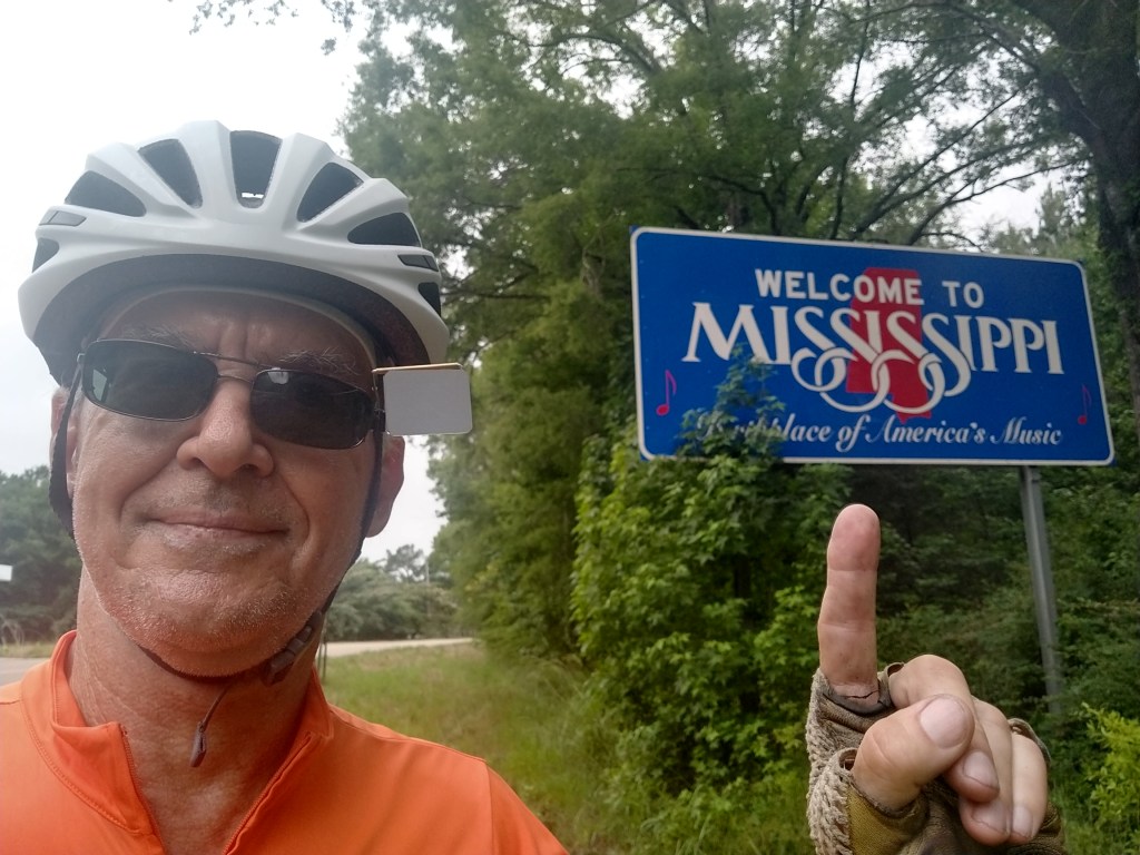
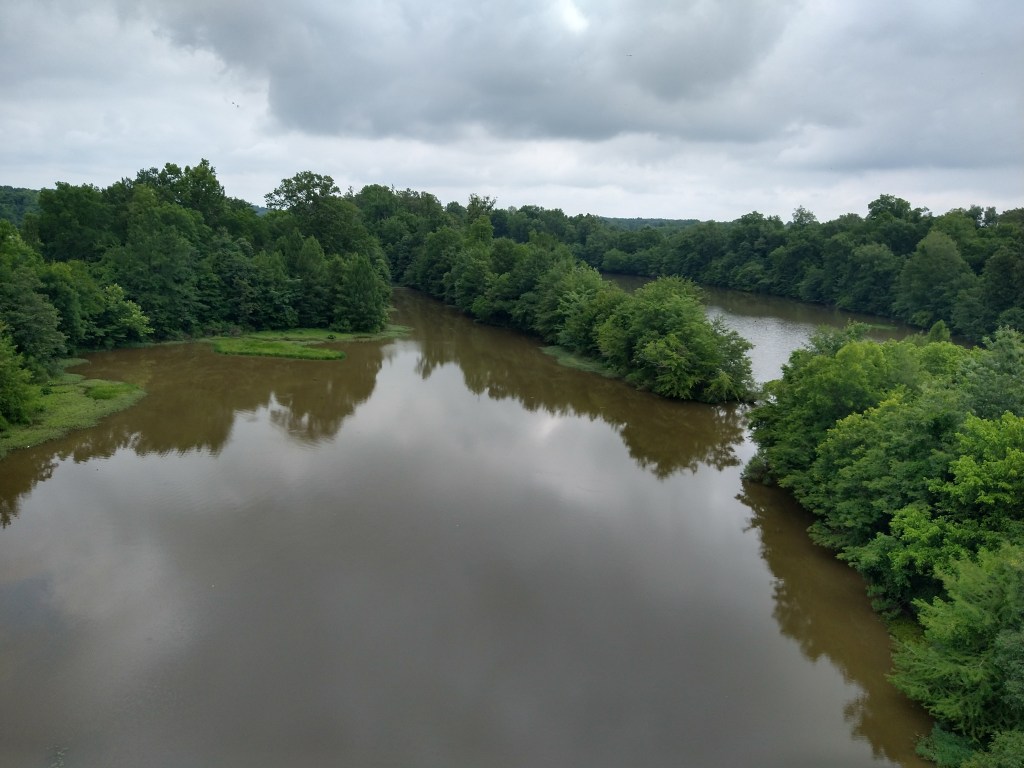
When I rolled out of bed in the morning, I was about twenty miles away from the next milestone of the ride. Here it is.
If you haven’t guessed, it’s the third state on the itinerary, Mississippi.
I wasn’t too far into the state, and heading towards Columbus, when a pickup truck passed me and pulled off the road about a quarter mile ahead. I was wondering if I was going to get a lecture about riding on the road with cars or hear the driver’s opinion about the worth of cyclists in general, but that didn’t happen. As I went past the truck, the driver said “I’m heading into town. If you want a ride you can throw your bike in the back”. That was a little surprising, since I wasn’t expecting a friendly exchange. I thanked him but couldn’t accept, as it would have left me about 10 miles short of riding across the country and feeling like Rosie Ruiz.
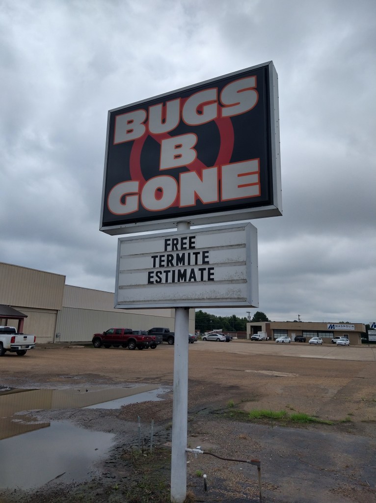
When I got to Columbus, a good-sized town, there wasn’t much to see. The ACA route ran me through an industrial area with heavy traffic and then out the other side. I spent a lot of time right up against the white line and looking in my rearview mirror. At a stop for a for a navigation check, this sign was nearby.
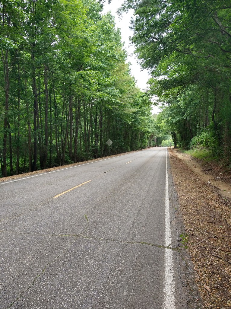
I was glad to get out of Columbus, and was working my way towards West Point to the NW. The scenery got better.
Once past West Point, I was on back roads again. While it was warm and sunny, these roads had the look and feel of Midwestern roads after a cold and gloomy winter. Craters and divots were everywhere.
Things improved a little later.
The ACA map on my handlebar bag gives a turn-by-turn description of the route, so figuring out when I should do what isn’t typically a problem. When the map said, “Turn Left on Old Highway 25”, I stopped. Instead of a road there was a rock field.
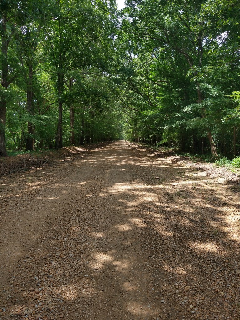
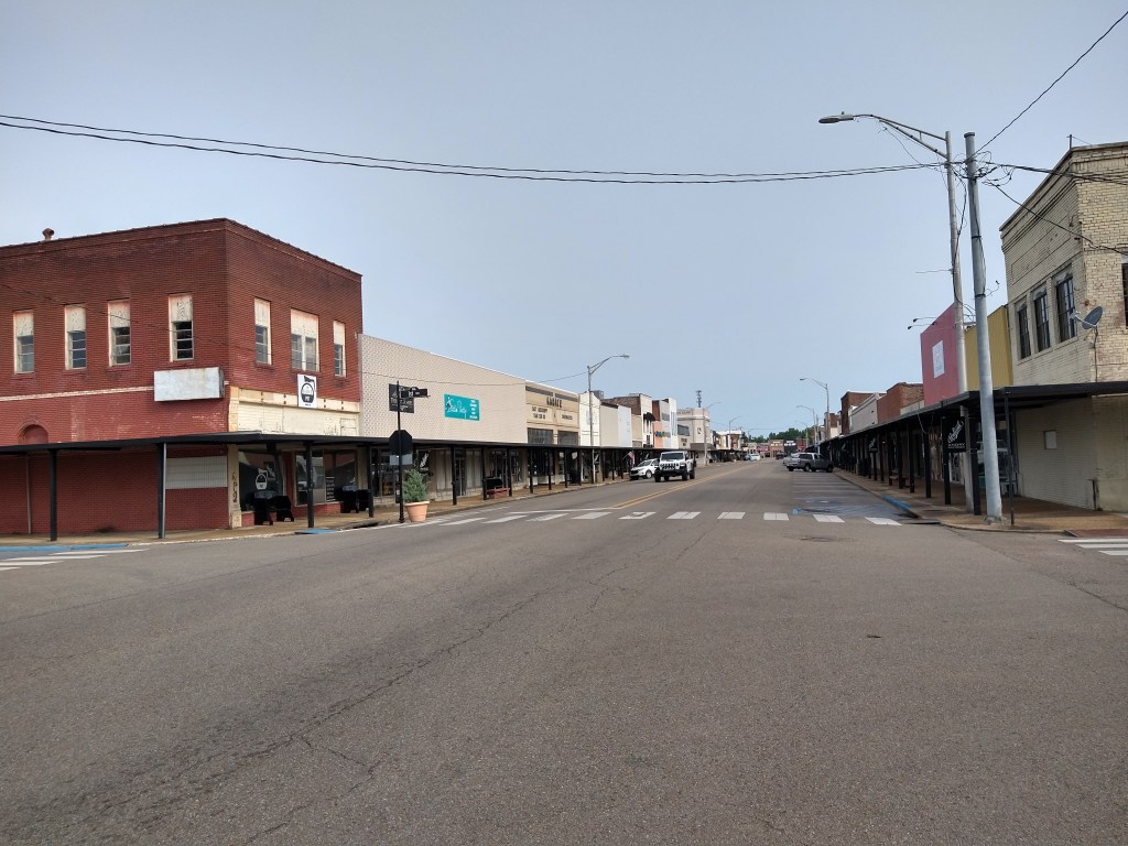
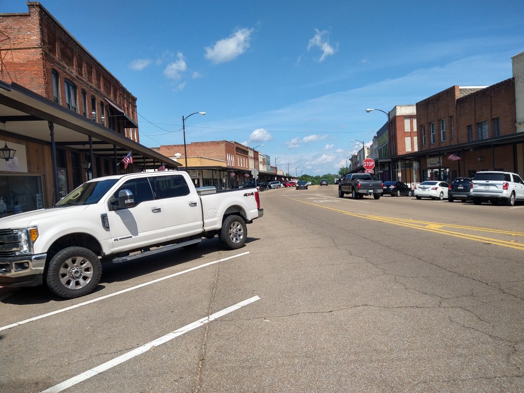
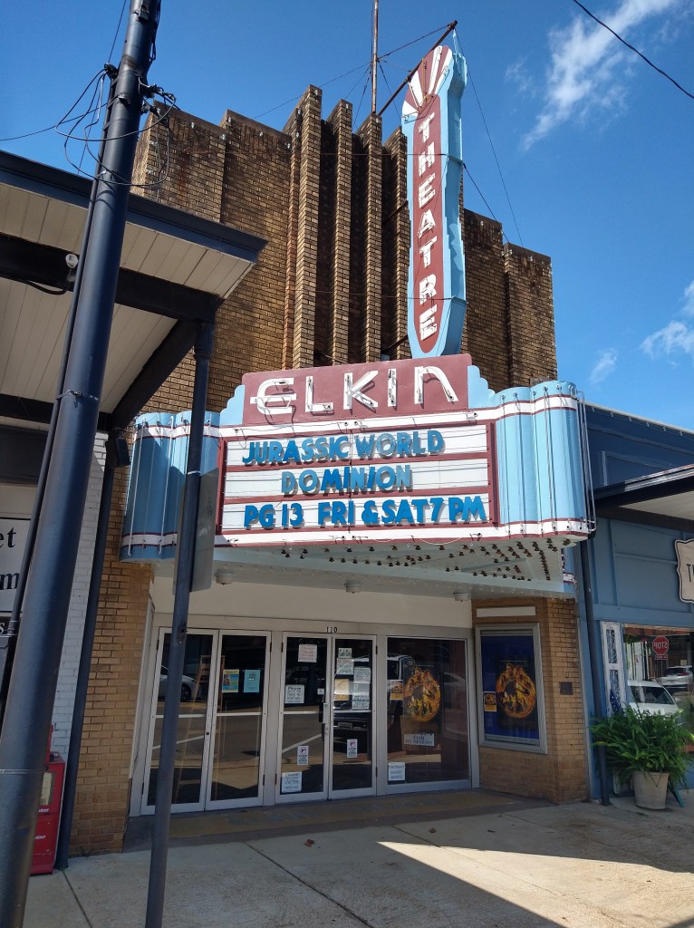
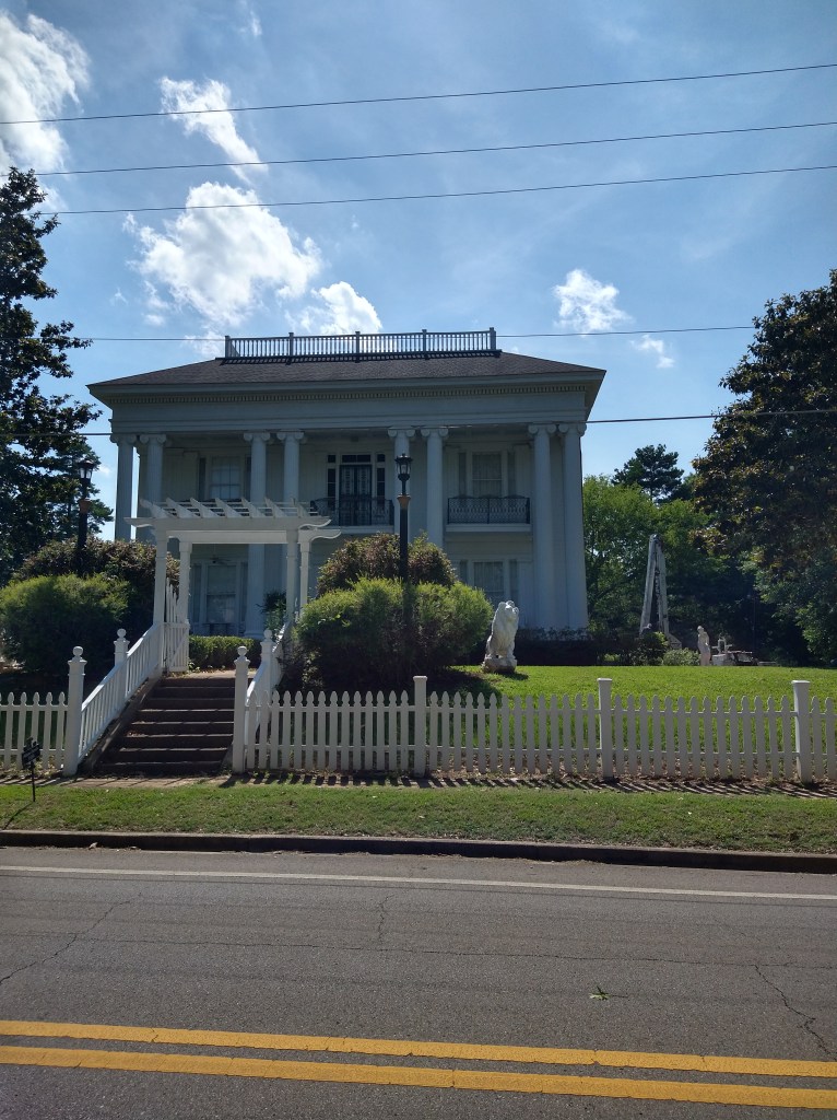
I checked the GPS navigation app for the route, and it was correct. After slipping and sliding constantly, two miles later I made it through. The town of Aberdeen was next. It had a downtown that looked like it was doing reasonably well, plus several attractive buildings.
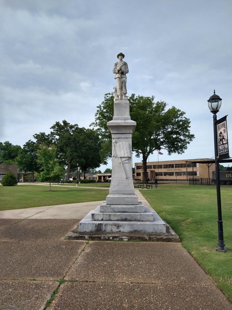
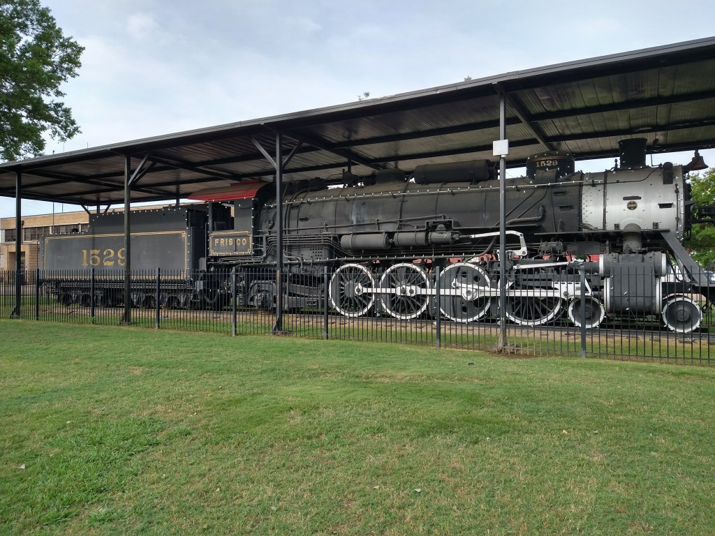
Twenty-five miles down the road, I checked into the Briarwood Inn in Amory, Mississippi. Wendy’s provided the meal for the evening, and a grocery store nearby fixed me up with supplies.