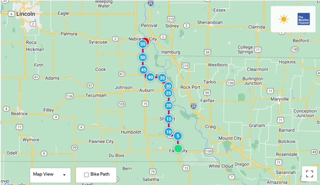
Falls City, Nebraska to Nebraska City, Nebraska – 55.9 Miles
Today was the end of four weeks on the road, with a total mileage covered of 1,878.3. That’s an average of 67 miles a day, which would be worrisome if I was traveling by car but gives me satisfaction since I’ve been able to successfully propel Ishmael and his baggage through eight states. Even though my goal is to ride across America by bicycle, there are times when I’ve envied the people driving past. They’re not bothered by weather, winds or hills and can reach in an hour what it takes me all day to do. Having car-like powers would have been a big help today, and it all began with the weather report.
Yesterday I got a big assist from the Wind gods, reaching speeds I haven’t seen lately while rolling along the flats due to a strong SE breeze. It was effortless and I expected more of the same today, as my route would continue to the north. In one of those “Are you kidding me” moments, a morning check of the navigational app from the ACA showed an “In your face” wind from the north predicted to last all day. The wind direction couldn’t have been more perfectly aligned against the direction I was traveling, which meant slow speeds and greater effort for not much gain. The only compensating factor was that I’d only be riding to Nebraska City, about 50 miles away, as the next logical stopping point, Council Bluffs, had no hotels available. So, it didn’t make sense to be caught between the two towns for the night.
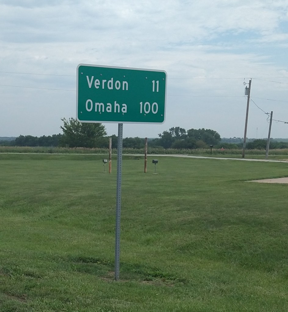
Every day starts out with enthusiasm, and the first miles out of Falls City were easy. Omaha\Council Bluffs is the endpoint of Section 1 of the Lewis and Clark Trail I’m following, and this sign was encouraging.
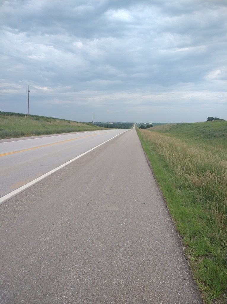
After that brief bit of joy, the going got tougher as the road turned north. The hills were back, and even coasting down them was hindered by the wind.
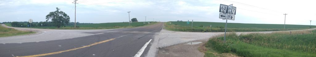
The rain started coming down about an hour into the day. Not much, just a few drops, but it looked like it was going to get worse. Putting on raingear would have been a precaution, but it also traps heat as well as repels rain, and that’s also uncomfortable. Just past this junction, it started raining enough to be undeniable, so I suited up.
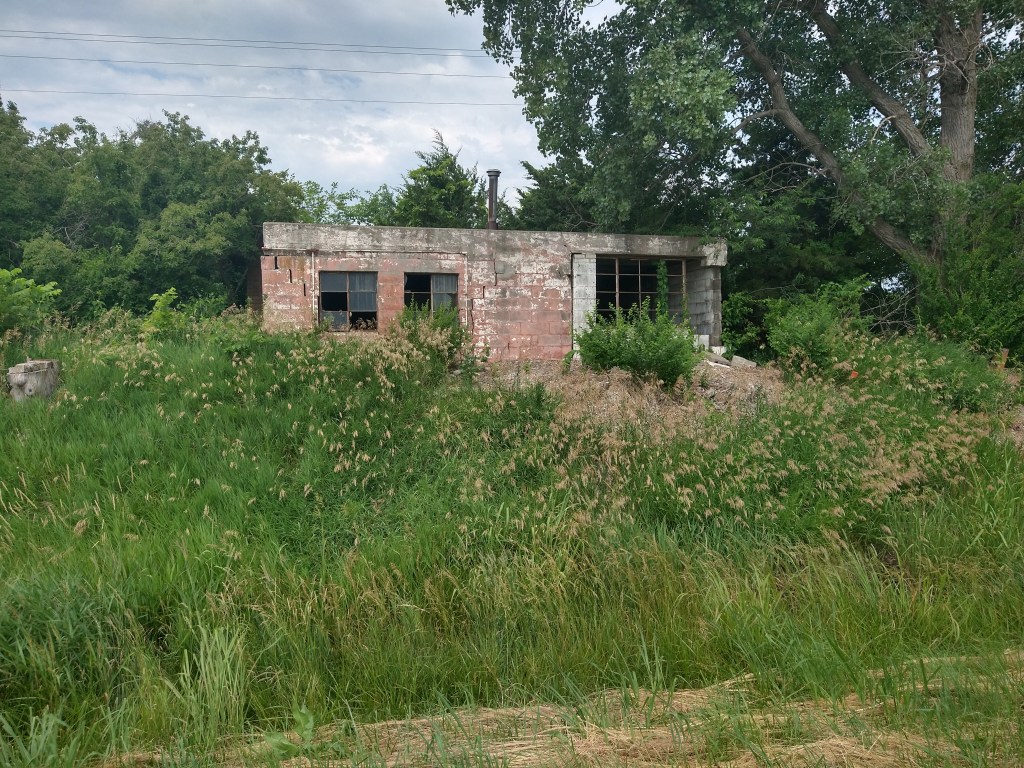
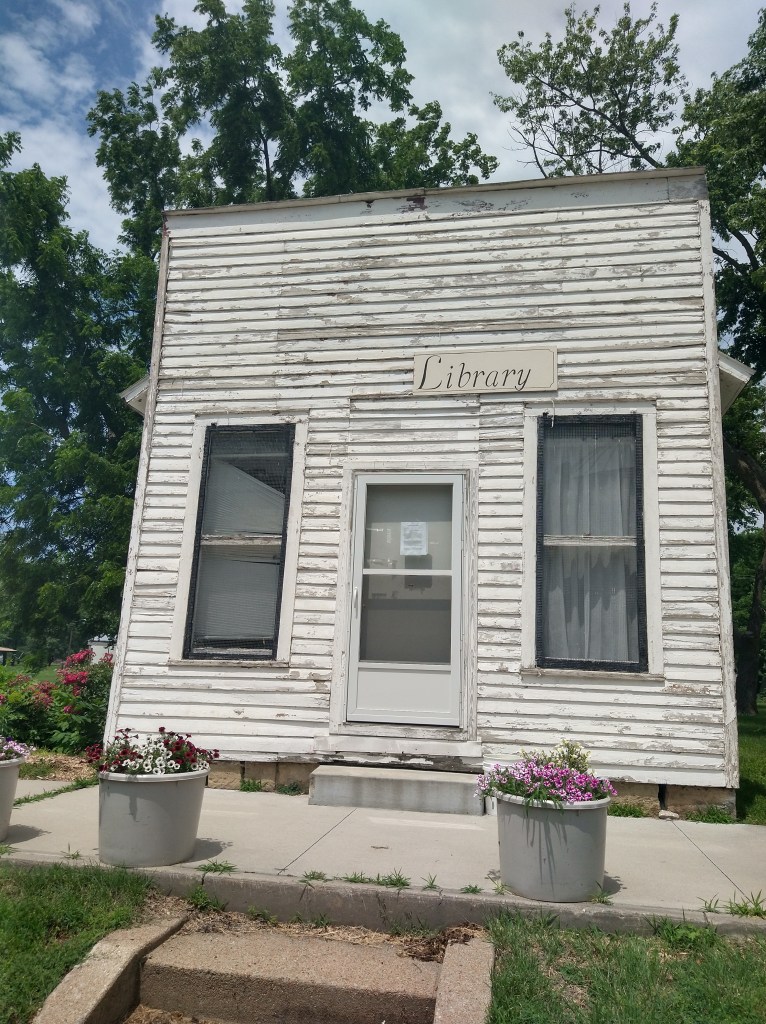
I had big hopes for the town of Nemaha, about 22 miles in. I’d stocked up on liquids when I left the hotel but was down on snack items. The map showed a store located there, but it was a fake out.
Nemaha did have a library.
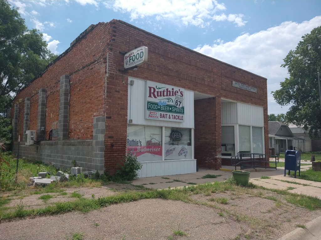
The next hope was Brownville. This was critical, as the map said I’d be moving from roads to the “Steamboat Trace Trail”, a rail-trail which would ultimately take me near Nebraska City. I descended a long hill onto Brownville’s Main Street and saw this:
There were no convenience stores in town, so I gave up on snacks and reset my thinking to reaching the next town along the line, Peru. My goal now was to find the Steamboat Trace Trail. After bumbling around a bit, I found the entrance on what looked like a dirt path into the woods. After the Katy Trail, this was a disappointing development. The trail runs along the Missouri River and would be a safer and scenic way to travel by avoiding traffic. After thinking about it a bit, I looked up “Steamboat Trace Trail” on my phone. The news was not encouraging. The notice said that the trail had been washed out between Brownville and Peru (lucky me!) and was closed until further notice.
There were only two options available now. The first was to climb the hill that I’d just descended and get back on the highway towards Peru. The second was to find an alternate route. I checked Google Maps and found what looked like a reasonable path that began just inside Brownville on Second Street. I found Second Street easily, but trouble began within a half mile. The road went from pavement to this:
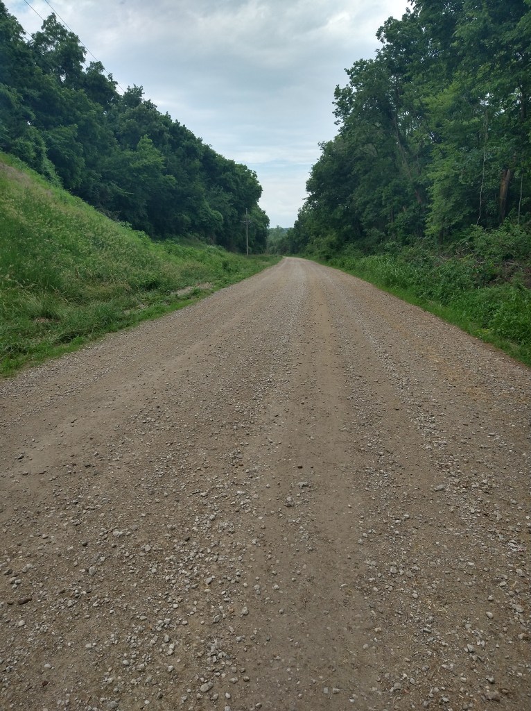
The problem with riding on gravel roads is that the tires are constantly being deflected by larger rocks. With a loaded bicycle and relatively narrow tires, the handling is skittish and unpredictable. While I was trying to figure out the best path through this mess, it started to rain. Hard.
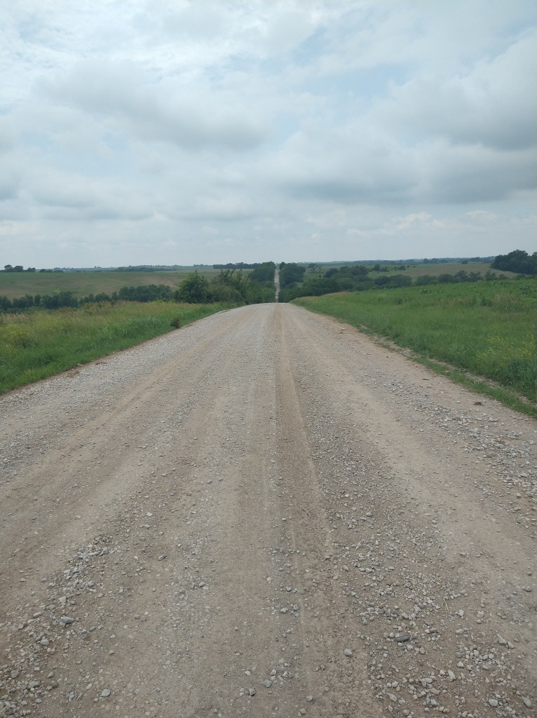
As I put on my raingear like it was a fire drill, I had plenty of thoughts about all that had gone wrong up to now. Headwinds. No food. Rain. Steamboat Trace washout. But there was just one more thing. Hills. The only thing worse than a rock-strewn flat road is one that goes up or down. It’s almost impossible to descend quickly because the bike easily goes out of control, and climbing is difficult because the tires lose traction on the loose surface. Because I’d descended toward the river, I had to climb out of the valley again. But it wasn’t just one long ascent, but a series of steep ups and downs. Here’s a sample:
I made it back to Highway 67 after wasting over an hour getting out of Brownville. The rain quit, but the wind didn’t as I continued towards Peru. Fortunately for me, Peru’s “Casey’s” was open, and I made sure to buy enough snack items to last the remaining 21 miles into Nebraska City.
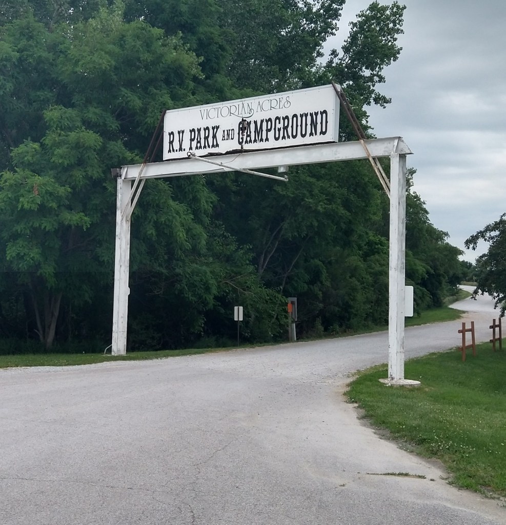
Moving the 6 miles west to get to Highway 75 didn’t take too long, even with the hills, but when I turned north, I was reintroduced to the wind. There was a rideable wide shoulder, but climbing uphill against the wind was monotonous and coasting downhill was literally a drag as the wind held the speed to about 12 mph. After over two hours of fighting air and gravity, I made it to Victorian Acres Campground.
When I’d tried to find a hotel room everything in the region was sold out. I couldn’t imagine why this area would be so popular, with rooms selling for up to $600 a night, but a friend tipped me off that the College World Series was on and that explained it.
Up to now, the tent and sleeping bag I’d carried from Florida had been ornaments. It gave the impression that I’d been roughing it, but this blog has been typed out from a hotel room since the beginning. With no availability of a hotel anywhere, it was time to go camping.
After buying the tent in March, I hadn’t bothered to take it out of the bag. I’d watched a couple of videos on YouTube of other people erecting the same tent, but never got around to doing it myself, probably because I wasn’t too keen on camping. Now I had an audience of, if not classic campers, people who liked the idea of “roughing it” enough to spend hundreds of thousands on a motor home so they could save money on hotels. When I took the components of the tent out of the bag, everything was recognizable and accounted for. I worked slowly, as if being watched, and in not too much time I had a campsite.
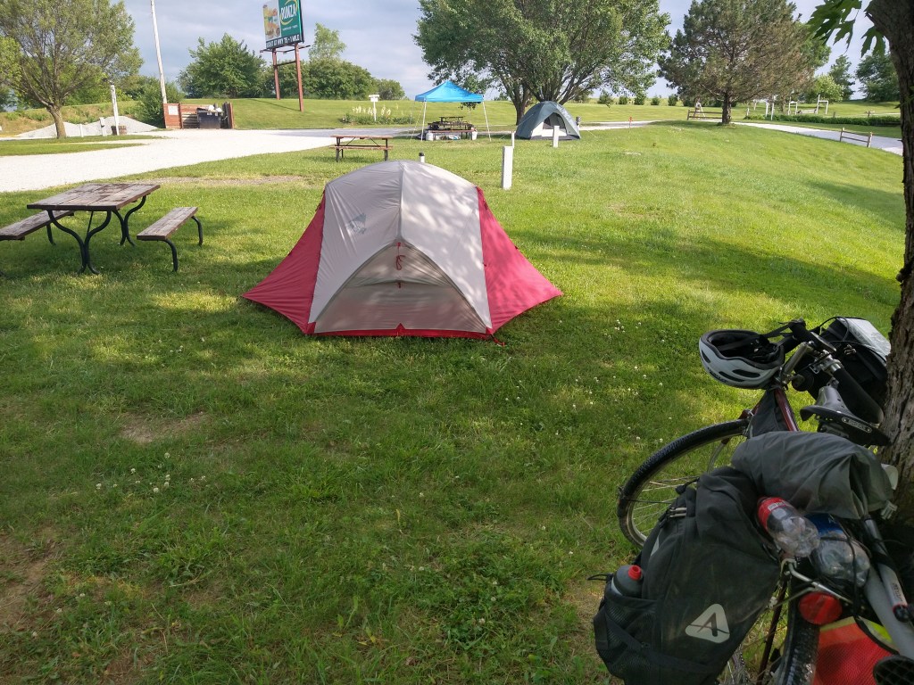
The tent had plenty of room and was comfortable once the temperature dropped a bit.

After a short rest, I got cleaned up and rode Ishmael into town to eat. Back at camp, the sunset was impressive. It was a tough one today but ended well.


Days like today make you appreciate even more the other days. Hope you sleep well tonight.
LikeLike
Phew! What a day!
LikeLike
Wow, what a day. You’re now a trained camper. Beats $600 for a room.
LikeLike
Once again… Wow. You’ve got a gift for describing things perfectly — the successes, the challenges, the disappointments, the feeling of the ride. Ironically, somewhere down the line you’ll probably remember this grueling day as well as your first night of camping with the same level of appreciation as the best days on the road.
LikeLike