Nebraska City, Nebraska to Council Bluffs, Iowa – 55 Miles

The goal this morning was to reach Missouri City, Iowa. With the forecast for the same wind from the north that had bothered me all day yesterday, I thought an earlier start would get me there in a reasonable time. The college World Series was still on in Omaha, putting hotel rooms on the endangered list, and with no campgrounds listed in the area that made sense geographically, I had a workable plan.
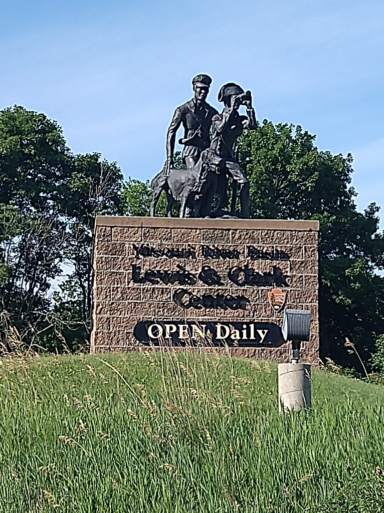
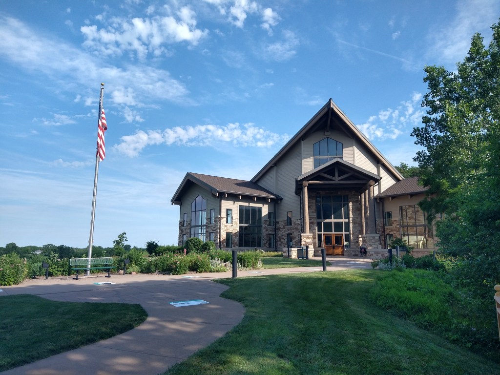
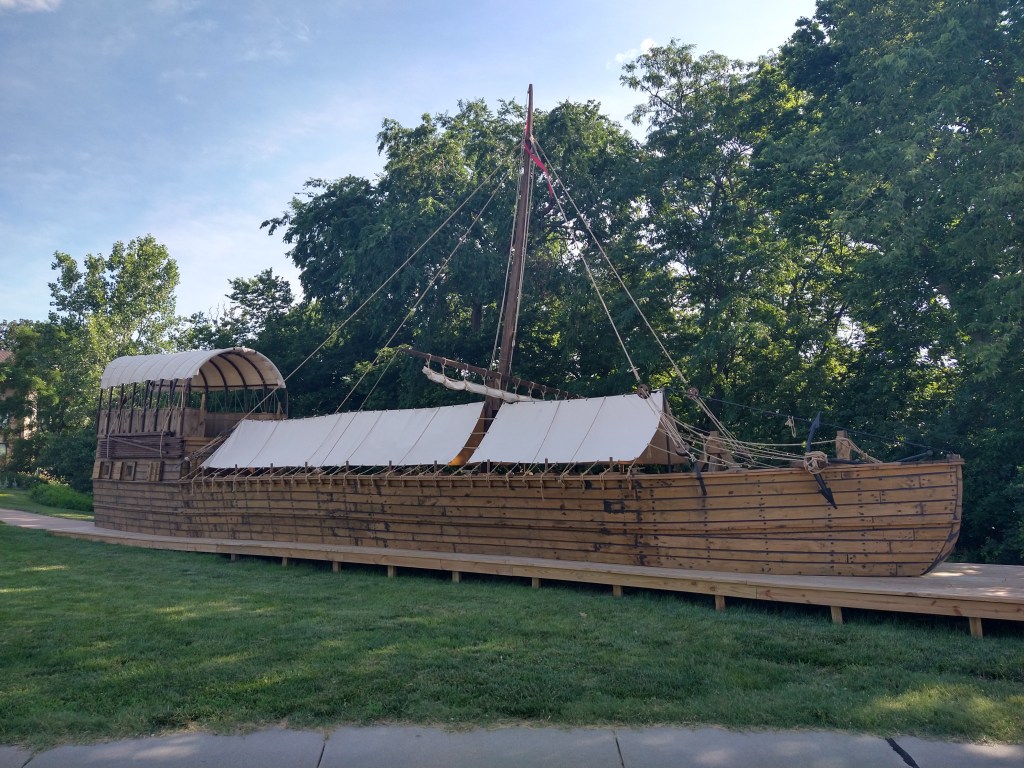
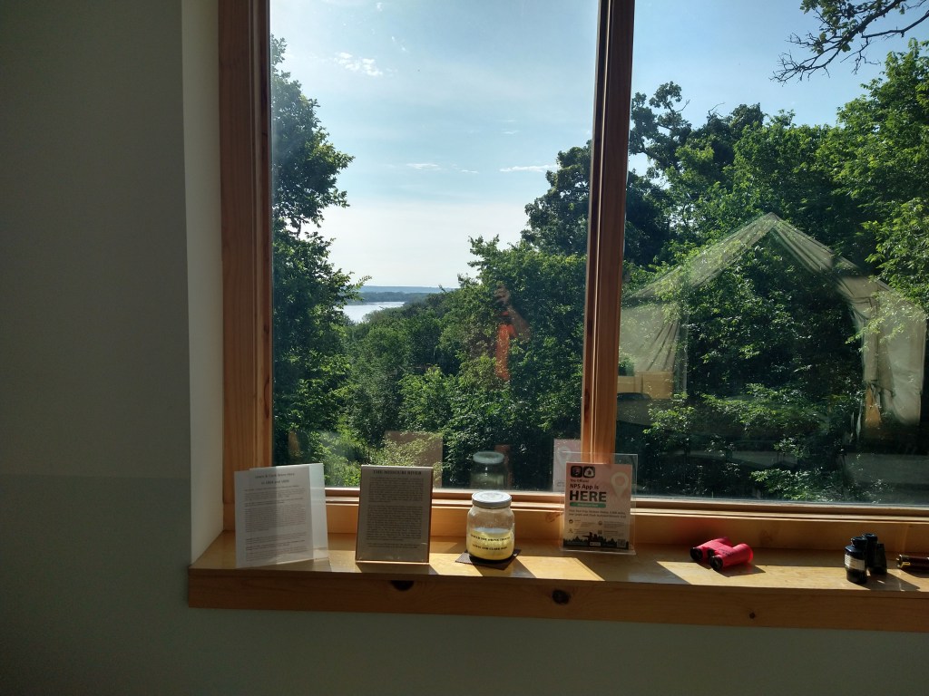
A review of the map the night before showed very few supply options between Nebraska City and 35 miles up the road. So, I spent 20 minutes in the morning pedaling to a store to load up. That four-mile roundtrip led to something I hadn’t planned on. Nebraska City has a Lewis and Clark Interpretive Center that teaches the history of the expedition from their time in the area and overall. As I passed the entrance on my way out of town, they were set to open at 9 and it was 8:56. It would have been pointless to have gone by without a look, so I pulled in. At that time, I was the only customer and had the place to myself for the half-hour I stayed.
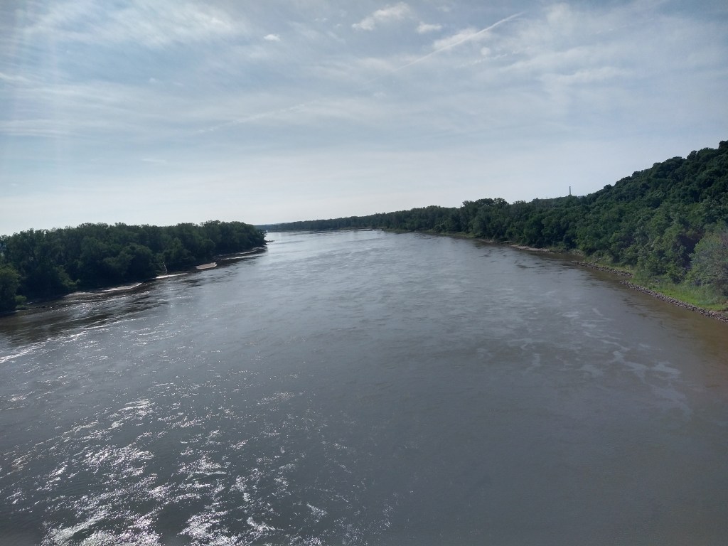
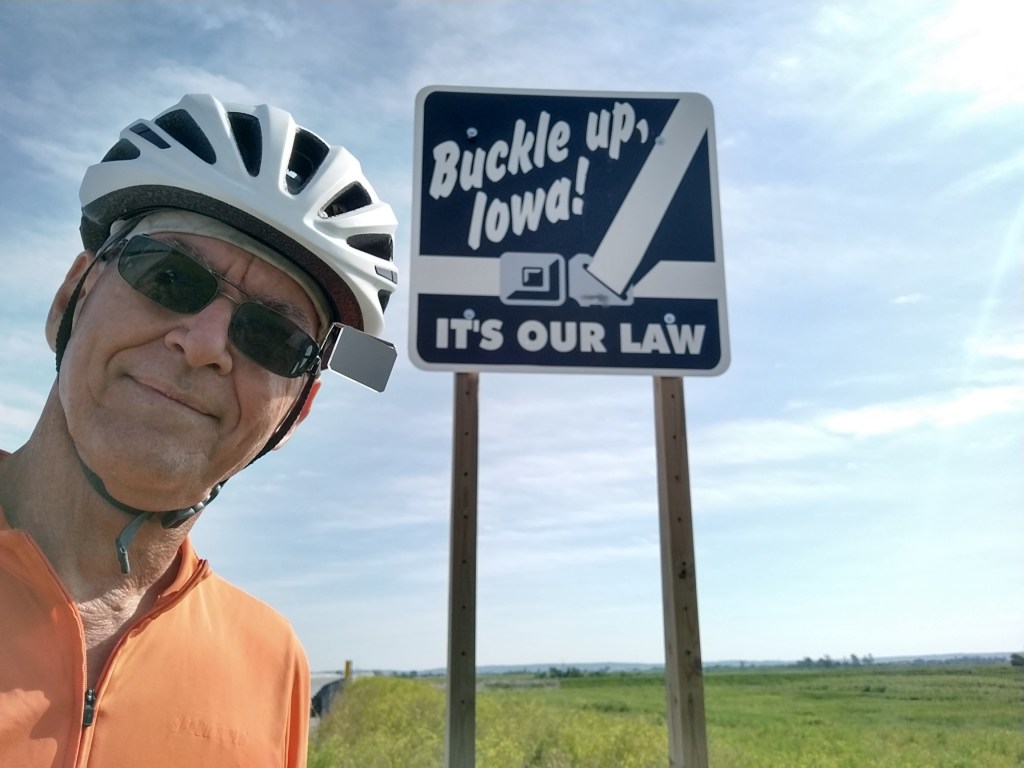
After learning a little more about the expedition, I got back on the road. Within minutes I was crossing the river into Iowa.
Most states welcome visitors. Iowa tells them to fasten their seatbelt.
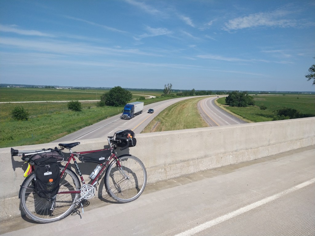
The route ran parallel to I-29 most of the day, so the contrast between back roads and Interstates was always evident.
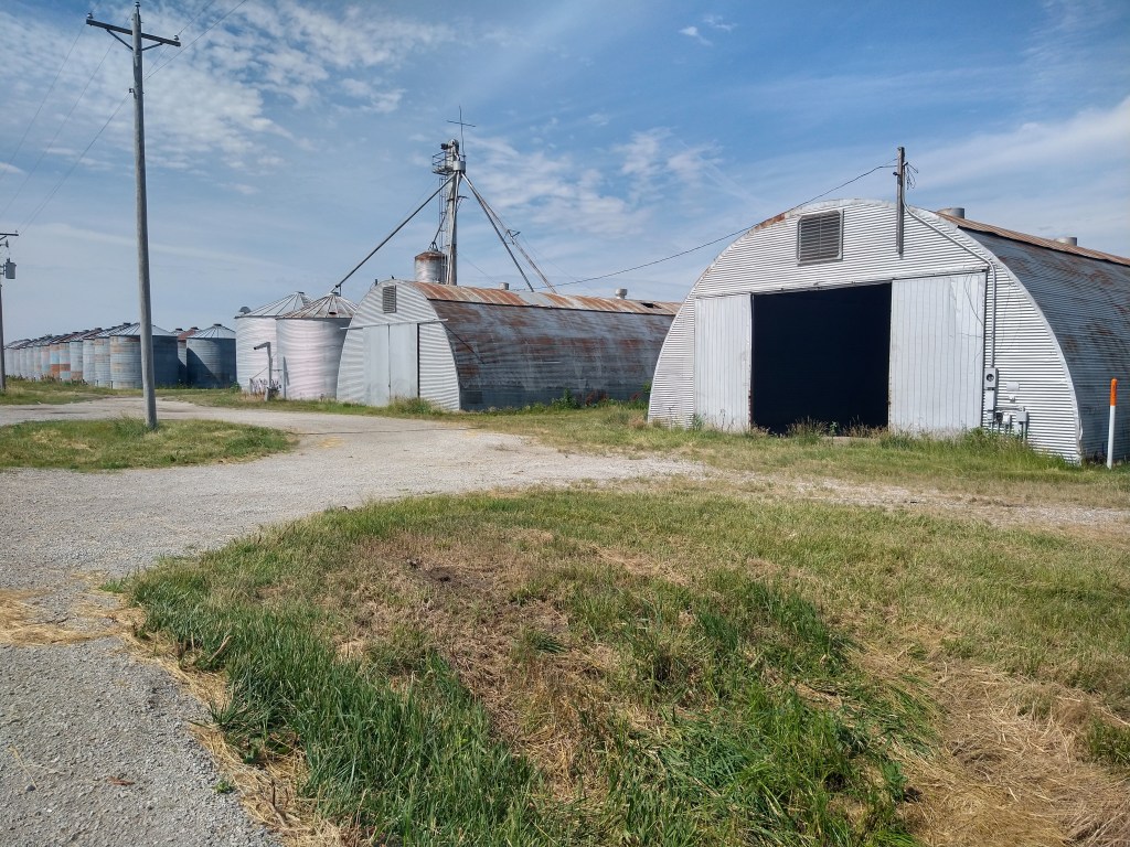
Percival was the next town, and it was sleepy. That’s a good description for most of the small places I pass through each day. Still, there’s evidence of past activity.

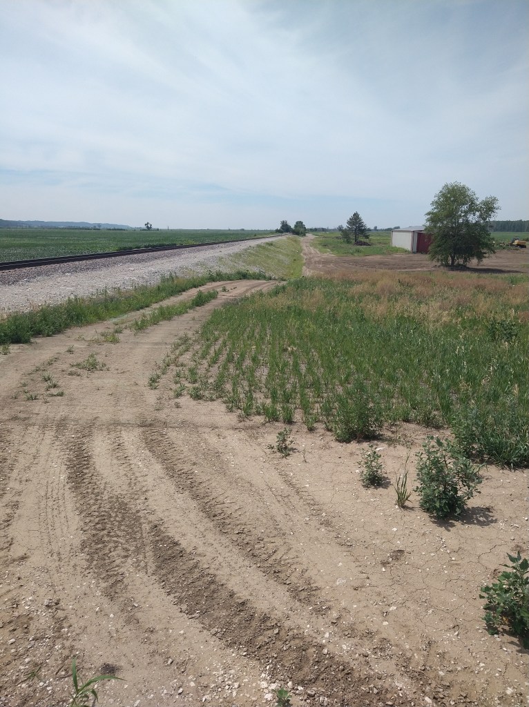
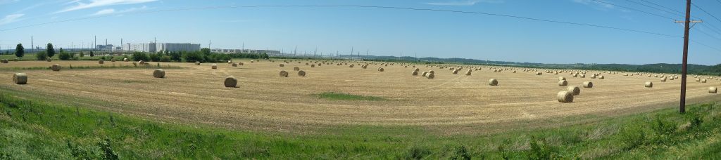
Farming is always popular.
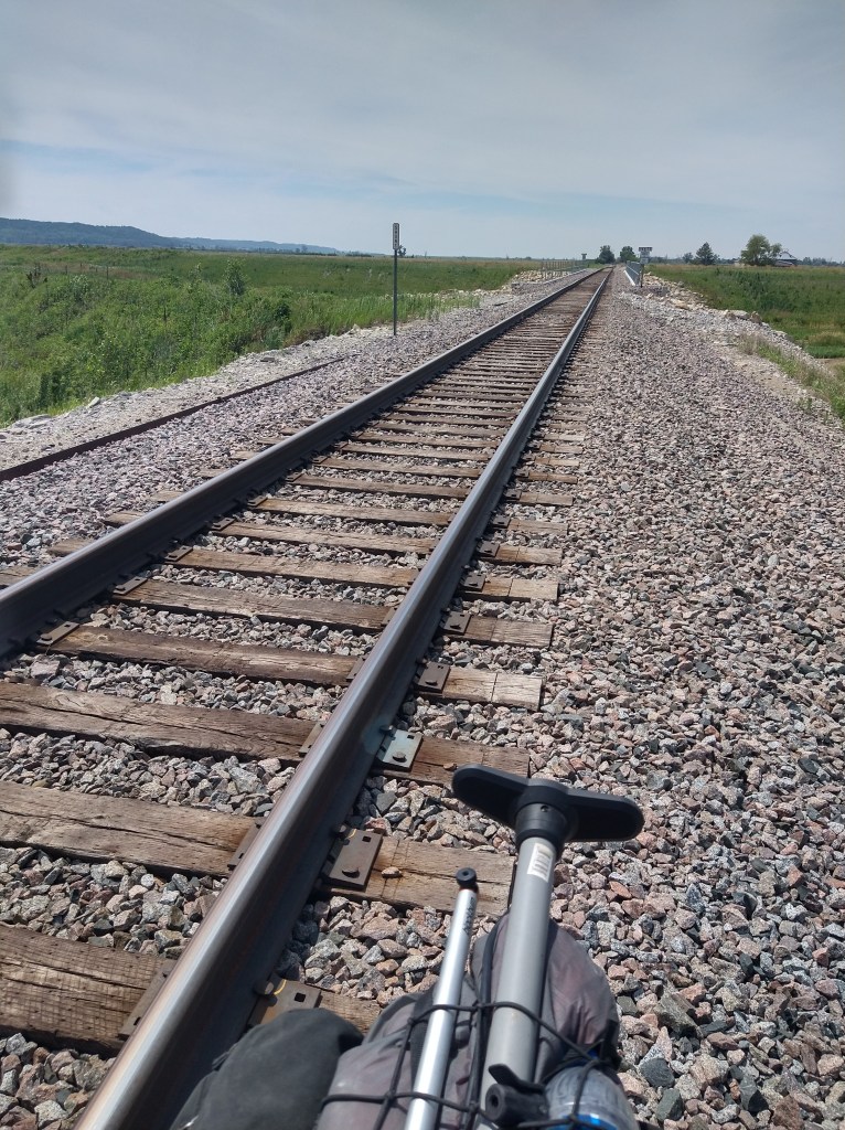
I was trying to get to a town called “Pacific Junction” against another strong wind from the north. The route the Lewis and Clark Trail followed had been blocked with a sign saying, “Road Closed”, which was a problem, along with the gravel surface. All in all, I wasn’t keen on figuring out an alternate route after yesterday’s experience with back road navigation. So, I just kept going as if nothing was wrong. That worked, until it didn’t. Here’s why the road was closed:
After crossing the overpass, I rode a couple of more miles and came upon another “Road Closed” sign. The map said take “Western Avenue” into Bartlett, which I was on. As I approached a large farm maintenance building, Western Avenue faded away in the back lot behind it. The road was gone. Only a rough path continued north but ended against a creek near a railroad bridge.
My options at this point were to take a gravel path toward the nearby Interstate, backtrack and try to find a way around or cross the railroad bridge and hope a train didn’t show up. Since I could see Bartlett a half-mile away, I walked Ishmael across the bridge as fast as I could. I have no idea what they’re doing in Iowa by closing off overpasses and removing roads, but I made it.
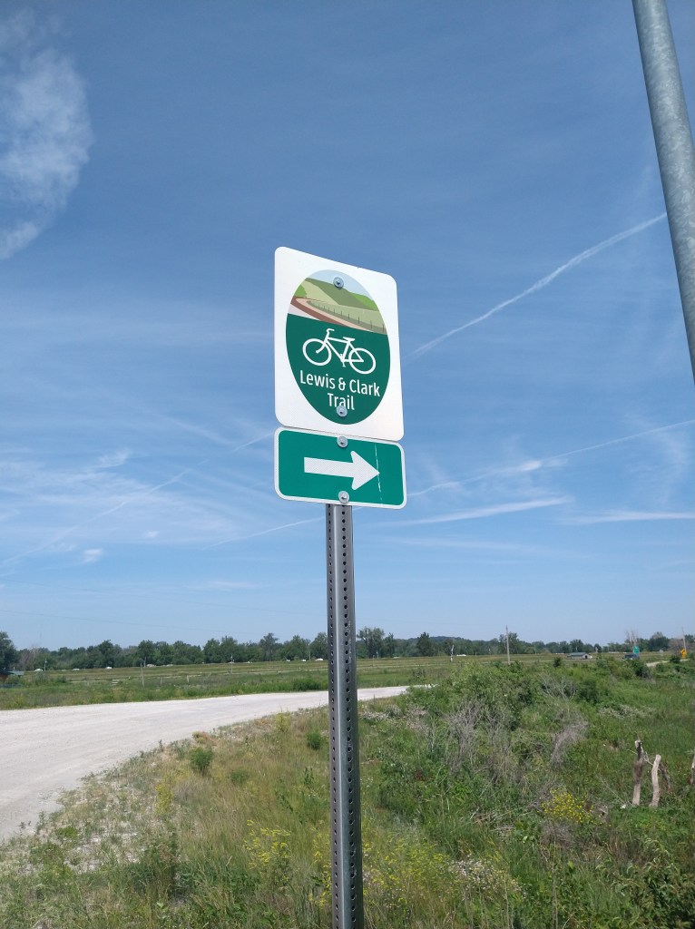
Encouraging signs were seen soon after that. I was back on track.
Council Bluffs was 20 miles away against a continuing headwind, after a stop just north of Pacific Junction. From Council Bluffs, the plan was to ride an extra 20 to Missouri City and finish the day.
A massive building about 10 miles out of Council Bluffs had the look of a prison from a distance. Concrete walls with few windows and surrounded by chain-link fences and security cameras on poles. It wasn’t until I got close enough to read the sign “Google” that I realized it was a data center. This is a facility that supports everything that Google does with their search engine and services. It’s a wonder of technology, but also a bit “Big Brother”.
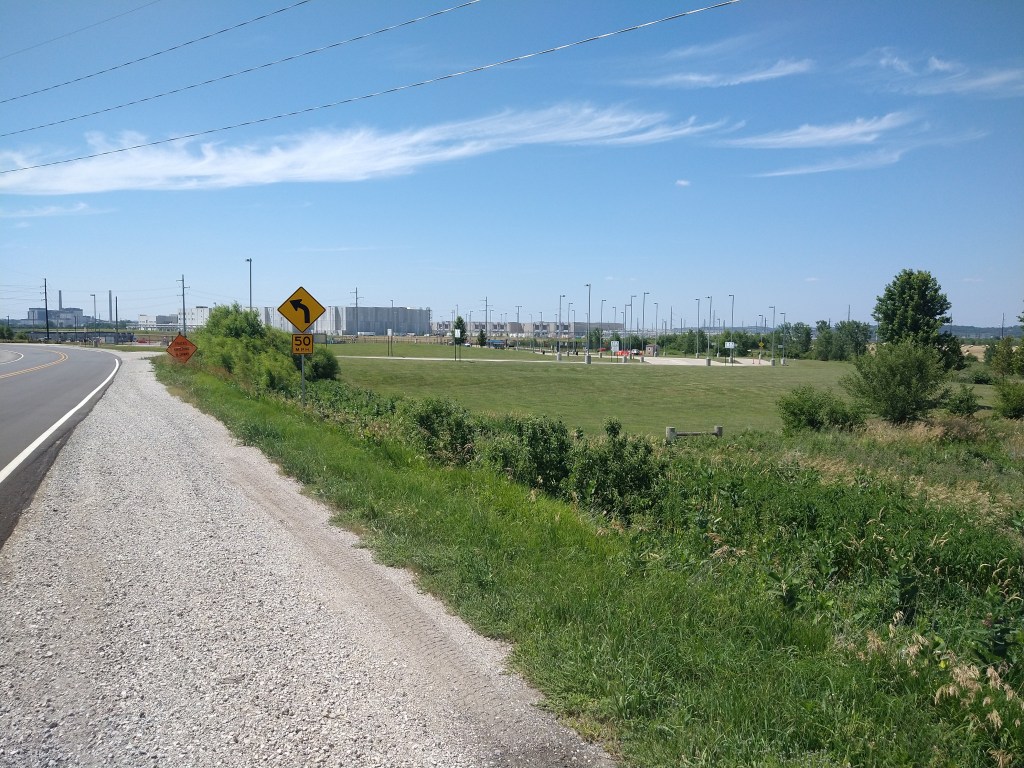
Nice hay bales next to Google.
I arrived in Council Bluffs at 4. When I checked navigation, I found I’d reached the end of Section 1 of the Lewis and Clark Trail and could now bring up map Section 2 for the ride to Missouri Valley. With 20 miles left to go, I’d have another 2 hours of riding ahead of me.
Thinking that the College World Series might be nearing an end, I checked hotel availability when I stopped for a break. Rates were definitely going down, so I decided that Council Bluffs would be it for today. Tomorrow is undecided yet, but a goal for this week is to get as close to South Dakota as I can. Once that happens, I’ll feel like I’m officially in “The West” and can look ahead to seeing unfamiliar territory and what it has to offer.

Another challenging day! So glad there was no train!
LikeLike
Looks fun and interesting. The Googs,Google, definitely are mining all of our data and using algorithms to predict what we do next.good luck and safe journey!
LikeLike
You should have asked the security guard at the Google server farm to have one of their engineers give you an estimate on the balance of your journey. I’d bet their algorithms, based on your search usage over the past four weeks, would probably predict (with a fair degree of precision) exactly where you’ll end up each day from here on out!
LikeLike
I believe Deano is correct
LikeLike