Yankton, South Dakota to Pickstown, South Dakota – 68.6 Miles
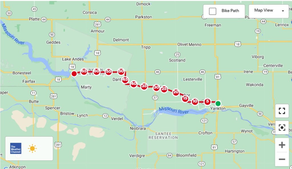
When I looked at the details of the ACA’s Lewis and Clark Trail route from Yankton to Pickstown last night, there were things about it that I wasn’t happy with. The first was that there were long sections of the route where no services were available. Having access to water and food is crucial on longer days, and that wasn’t an option for a 40-mile stretch on the map.
The second issue was the roundabout way it got to Pickstown. Because Lewis and Clark followed the Missouri River on their way west, riding as close to the river as possible seemed logical. That wasn’t the case on proposed route, as several roads weren’t within sight or even a reasonable distance from the Missouri. The total mileage of the map route was around 82. When I checked an alternate route along state highways, the distance dropped by 14 miles and the towns with supply potential increased to a workable number. It was an easy decision in the end. I went my own way.
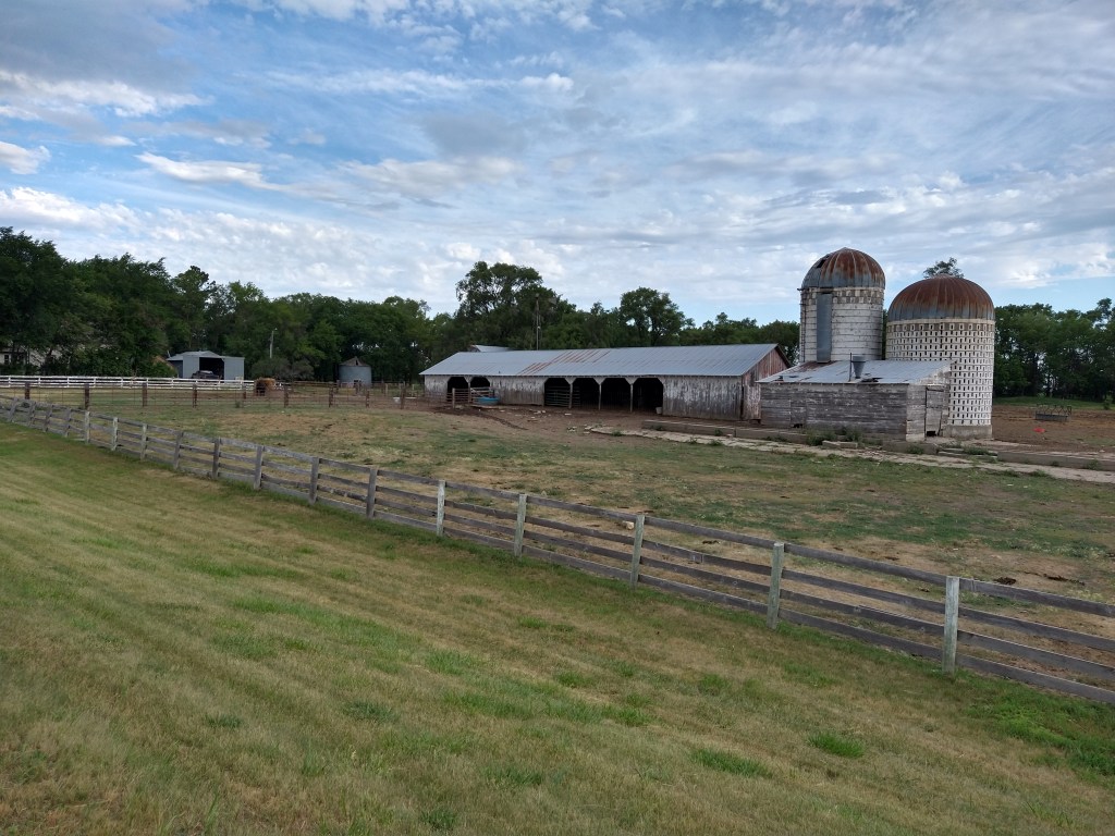
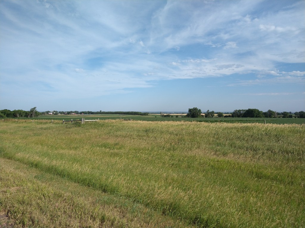
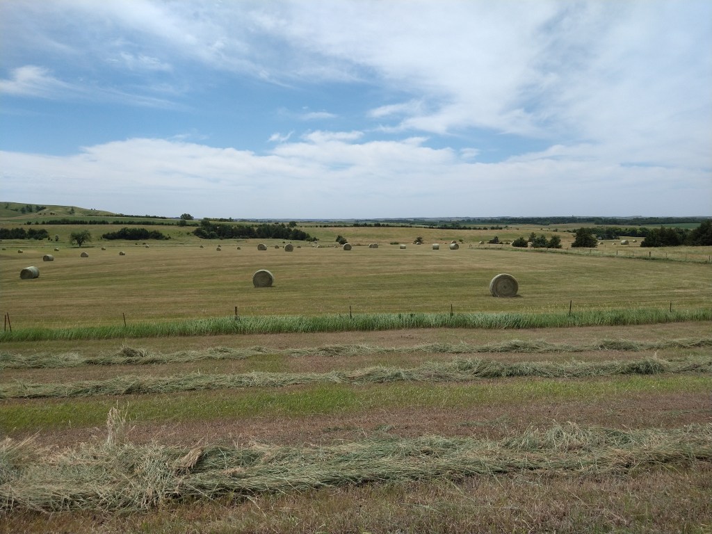
The traffic was light and the road and shoulder wide enough for the cars and I to stay out of each other’s way. I didn’t expect to see a lot today as I’d be riding in Farm Country, which tends to look the same whatever the crop or wherever the tractor is parked. Even so, all of it is unique to South Dakota, so it was worth the time to record.
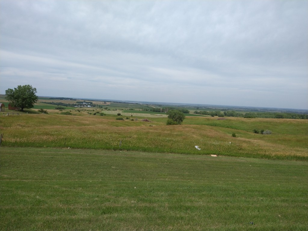
Things got rural in a hurry as I left Yankton. A nice stable claimed the first shot, while a view to the horizon the second.
People have asked me if I listen to music while I’m riding, and the answer is “No”. I never felt that I needed a soundtrack for what I was doing, either to motivate or entertain. Long distance riding requires different levels of attention at times, and when it’s busy (heavy traffic, fast downhills, tedious uphills, bad road surface) there’s not much time to think about other things. On a flat, smooth back road with no traffic, it doesn’t require much from me to keep Ishmael moving, so I can relax and deal with other thoughts. These may include the next town, the destination, subjects for pictures, time/distance calculations and so on. Because I’m constantly seeing things that are new, boredom is minimal.
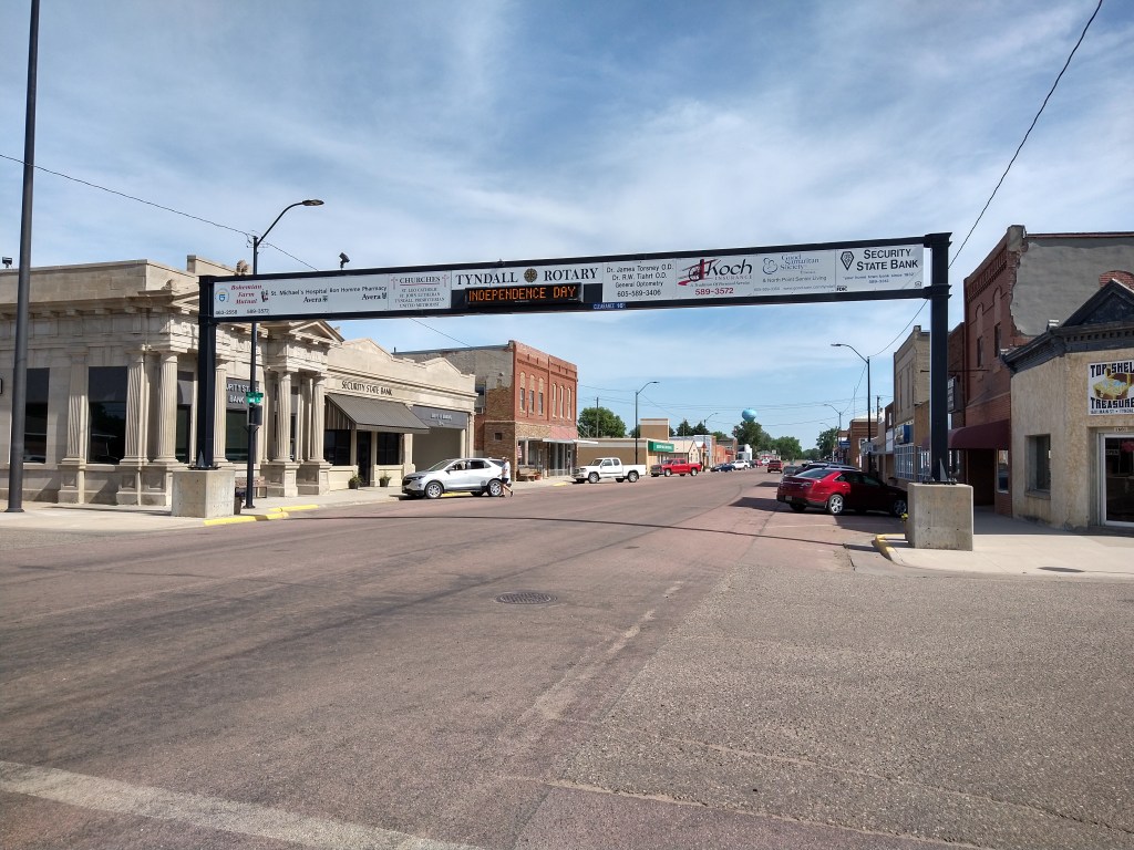
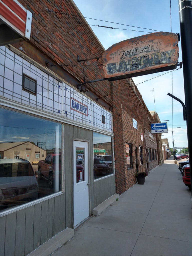
The town of Tyndall, population 1150, was a nice stop today. Highway 50 passes by it, but the center is about 1/2 mile from the road. You can tell what kind of place you’re in by looking at the businesses that are successful there. I’ve been in some towns where a bar and a place to rent videos was it. If there’s a gas station, that’s an indicator of prosperity, and when you get a restaurant, hardware store, bank or grocery, things are looking good. Here’s my first glimpse of Tyndall.
As I rode in, I saw a bakery with an “Open” sign in the window. It was snack time and stopping there was much more attractive than hitting the convenience store by the highway. Inside it looked like it had been frozen in time 50 years ago, but the glass cases and racks had plenty to offer. I bought an eclair and four cookies for $2.60 and enjoyed them all.
Back on the highway, it was easy going. The wind was behaving itself and the traffic was like this:
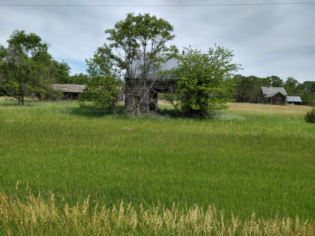
While most farms were well-kept and thriving, some didn’t make it. Here’s one.
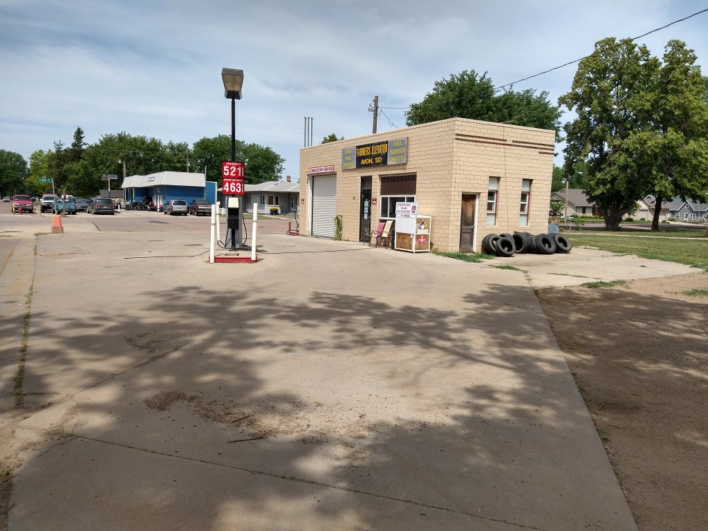
The small town of Avon was next. It had a good-sized school, a community swimming pool packed with kids and a downtown with some busy shops. This old gas station was a gem.
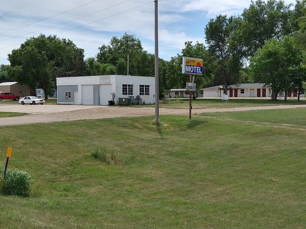
Just outside of Avon, an abandoned motel and gas station showed that if you build it, they might not come.
The landscape is mostly flat, but more hills appeared as I rode westward.
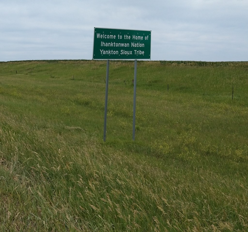
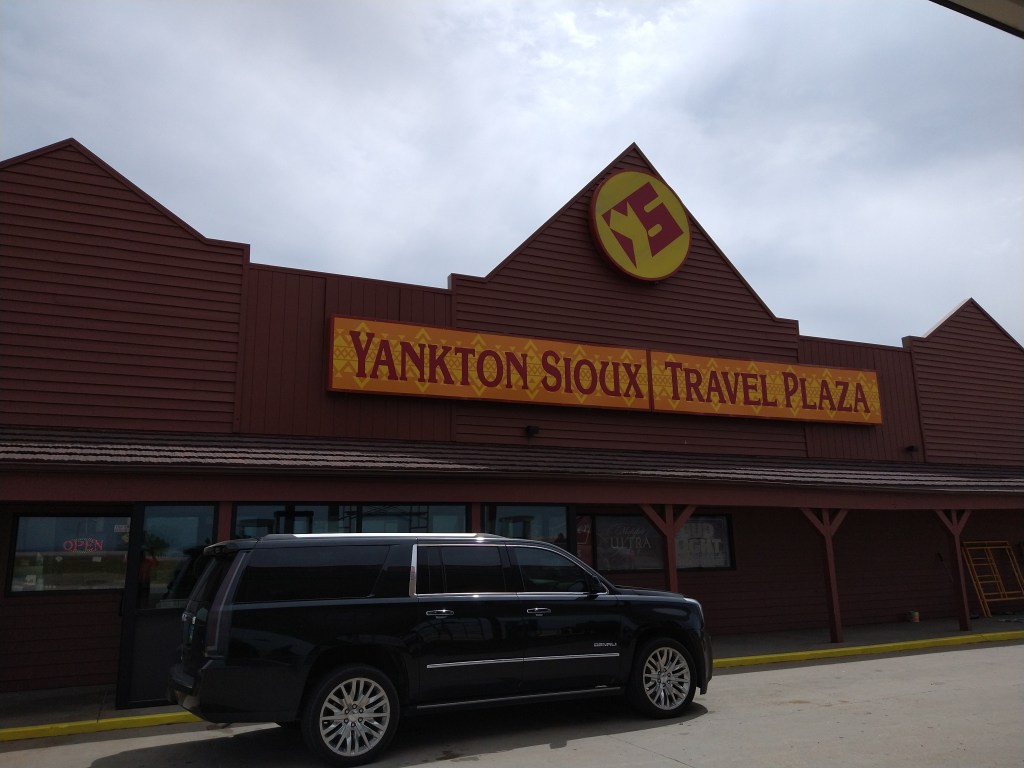
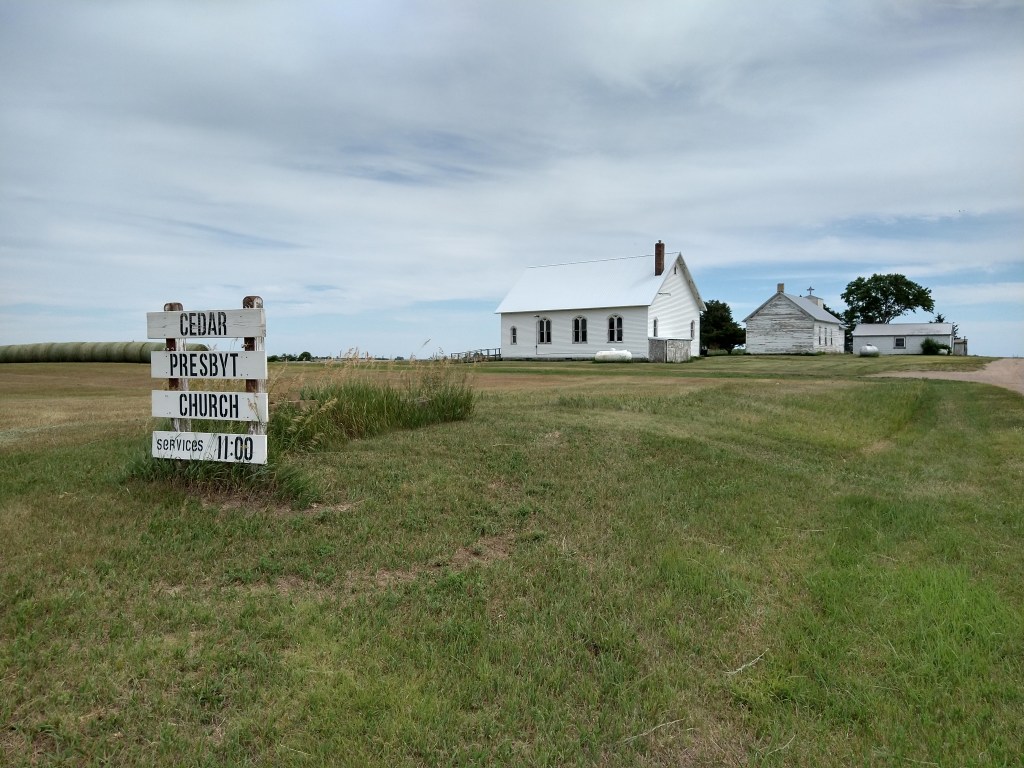
Indian tribes own a lot of land here. The Sioux were well represented.
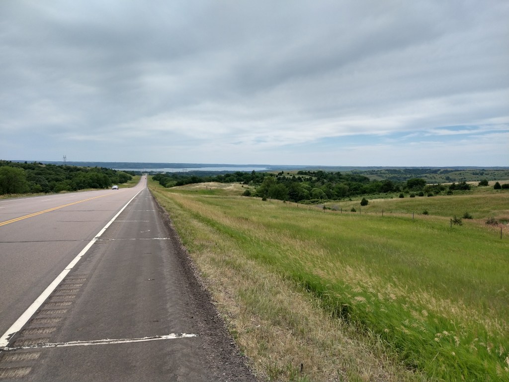
After the town of Wagner, I had 15 miles to go. The road climbed for a few miles, then started a long downhill stretch towards the Missouri River.
I checked into the Dakota Inn and am one of possibly three guests tonight. They’re booked for the weekend, due to the 4th of July and a large water recreation area nearby.
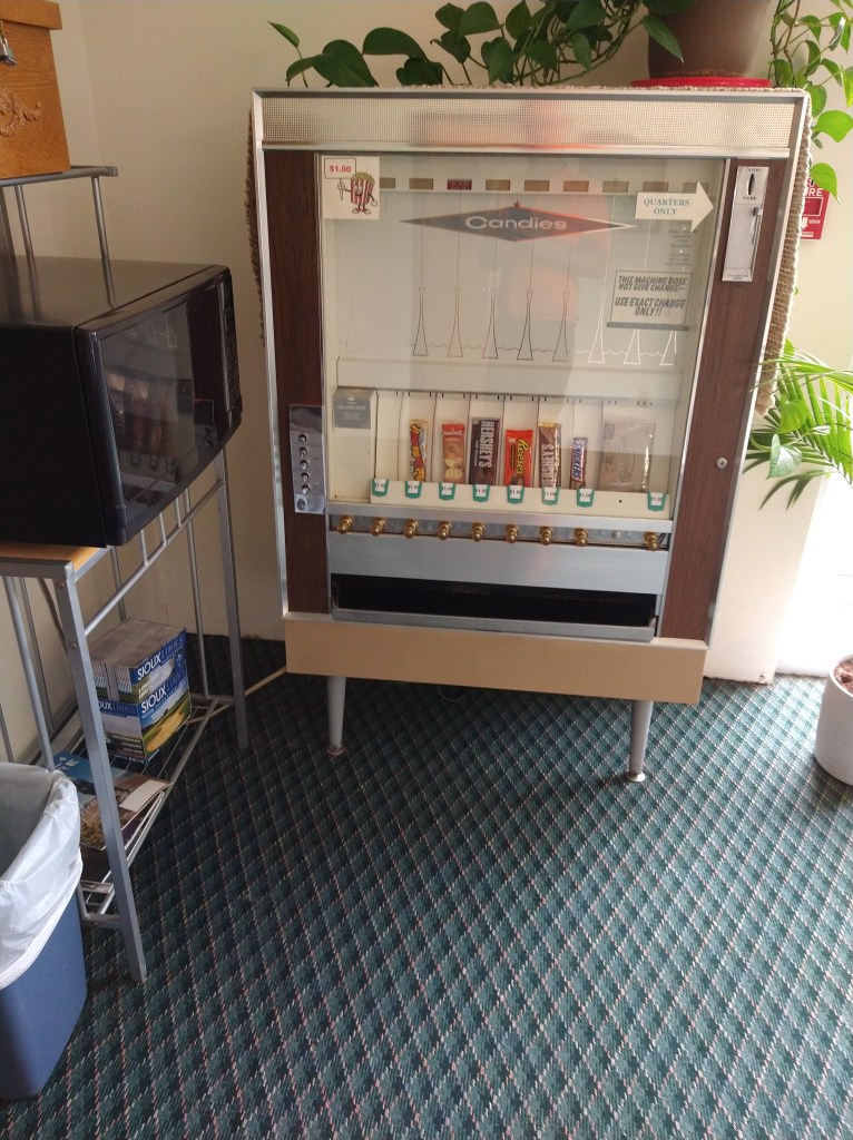
These machines used to be everywhere, but now they’re only in the old hotels where I stay.
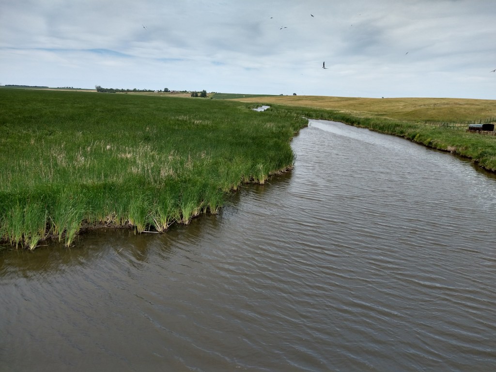
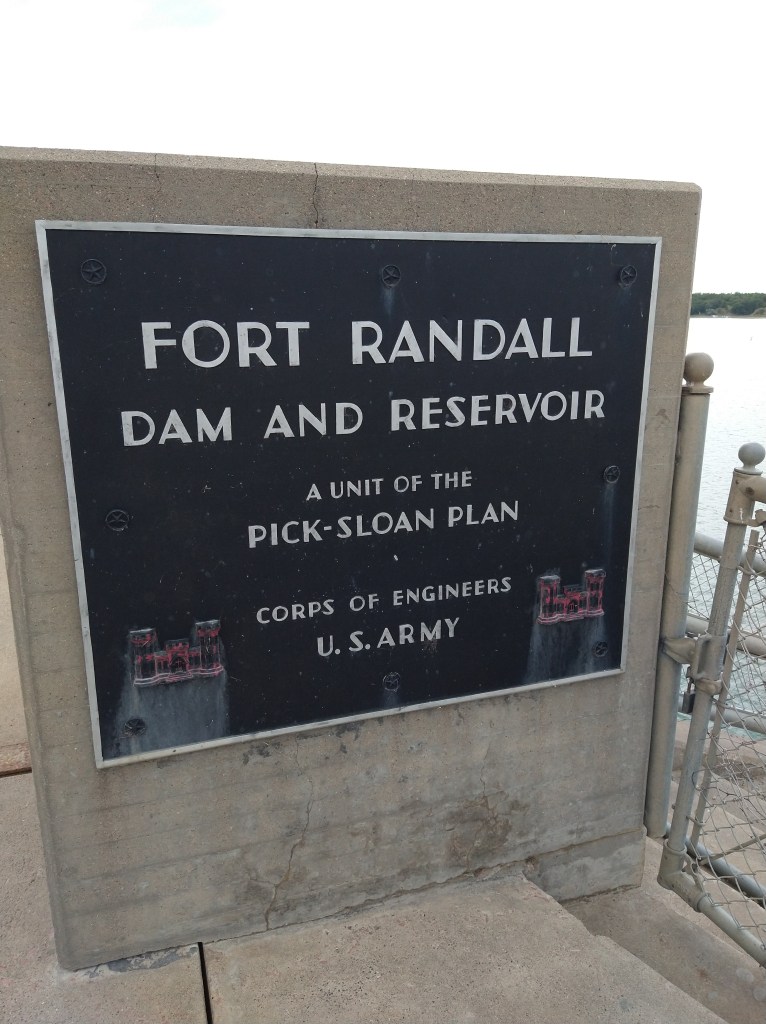
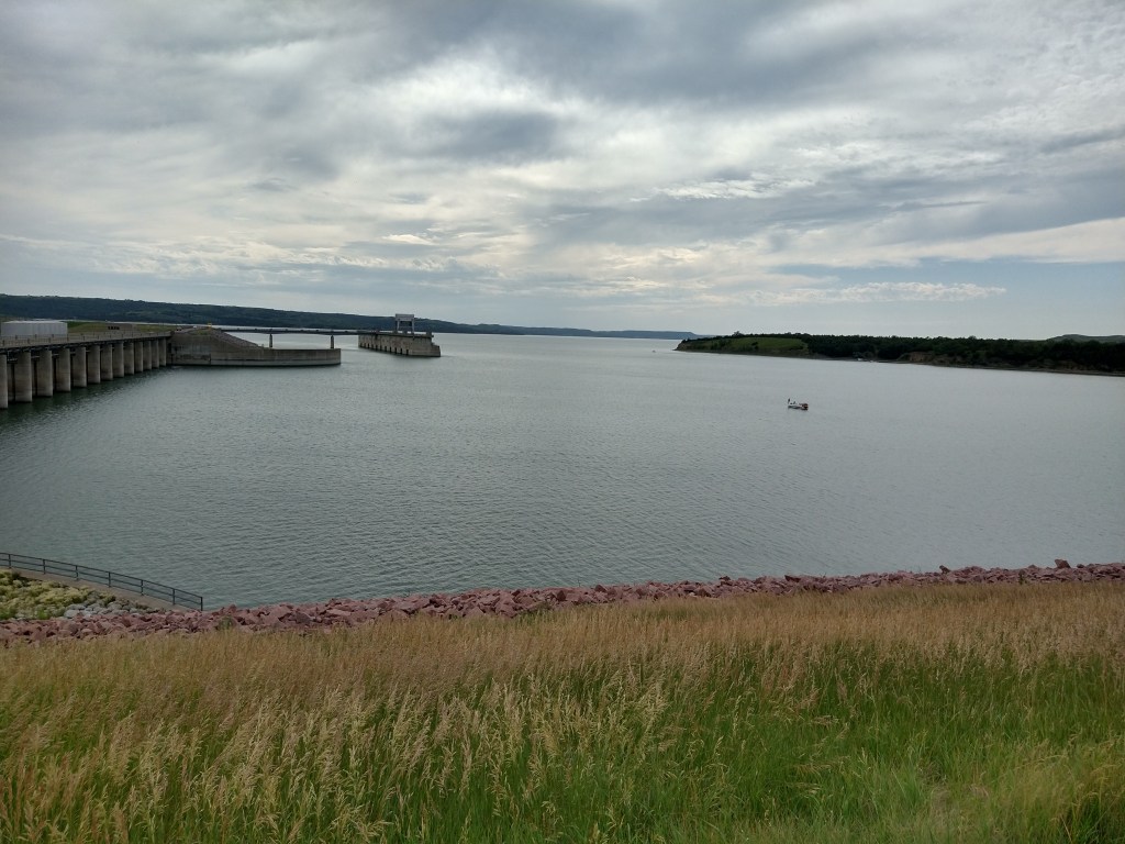
After cleaning up, I walked to the Missouri. The Fort Randall Dam was built in the 1950’s to help control the river and generate power. It’s a mile from the hotel and an impressive work of engineering.
I ate dinner at a Knothead’s Bar and Grill and wasn’t expecting much. I was wrong. I had a beef rice bowl with vegetables, and it was excellent. The number of customers they get from boaters and fishermen must make them work a bit harder to keep them coming back.
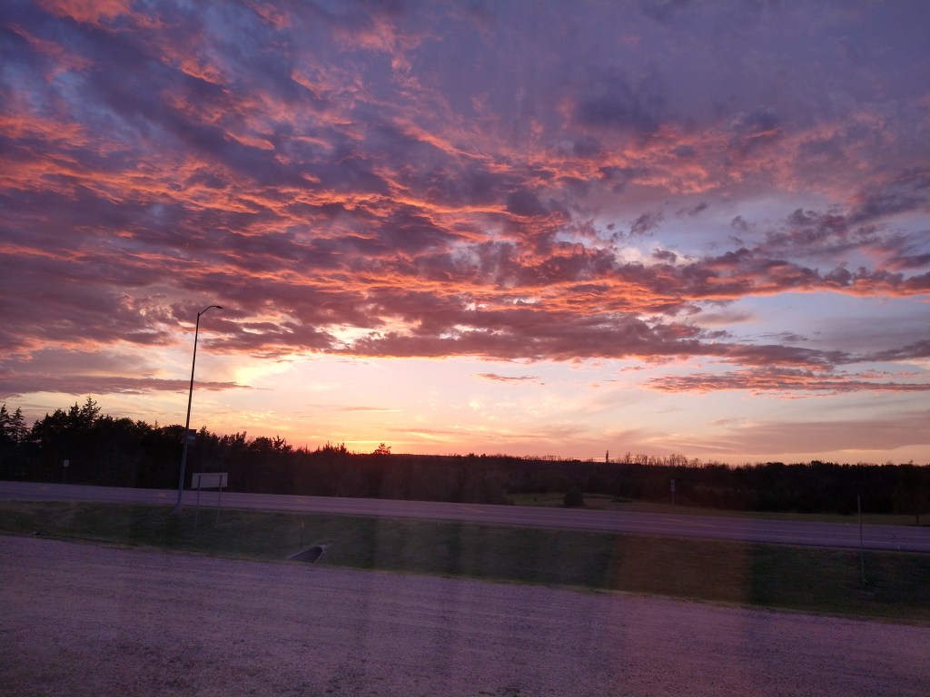
At the end of a pretty good day, I saw the sunset from my hotel window. That’s a good way to say goodnight.

Enjoying ur posts (& commentary) nightly! What a great part of the country ur in! Small town USA. What a nice place to be for the w/e of the 4th………🧨🇺🇸🚴♂️
LikeLiked by 1 person
Looks very scenic and down to earth.i see the sky has the ubiquitous tails of chem,just like Florida. I purchased gas Thursday for $4.42 a gallon. Looked at many Trek bicycles yesterday and found out that I like the old style much better.
Great trip and thanks for the blog.
LikeLiked by 1 person
Has to feel amazing cruising through SD after having a tire in the Atlantic just a few fast weeks ago. Well done and looking forward to the rest of your travels.
LikeLiked by 1 person
Kevin, there are many rivers in the UK by the name of Avon, similar to the town you visited.
The reason is that Avon in Anglo-Saxon translates to the river, so many people called their river the Avon.
LikeLike