Great Falls, Montana to Lincoln, Montana – 88.6 Miles

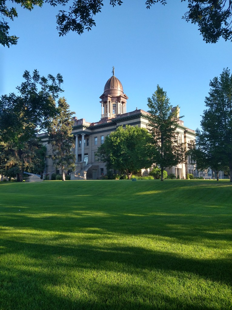
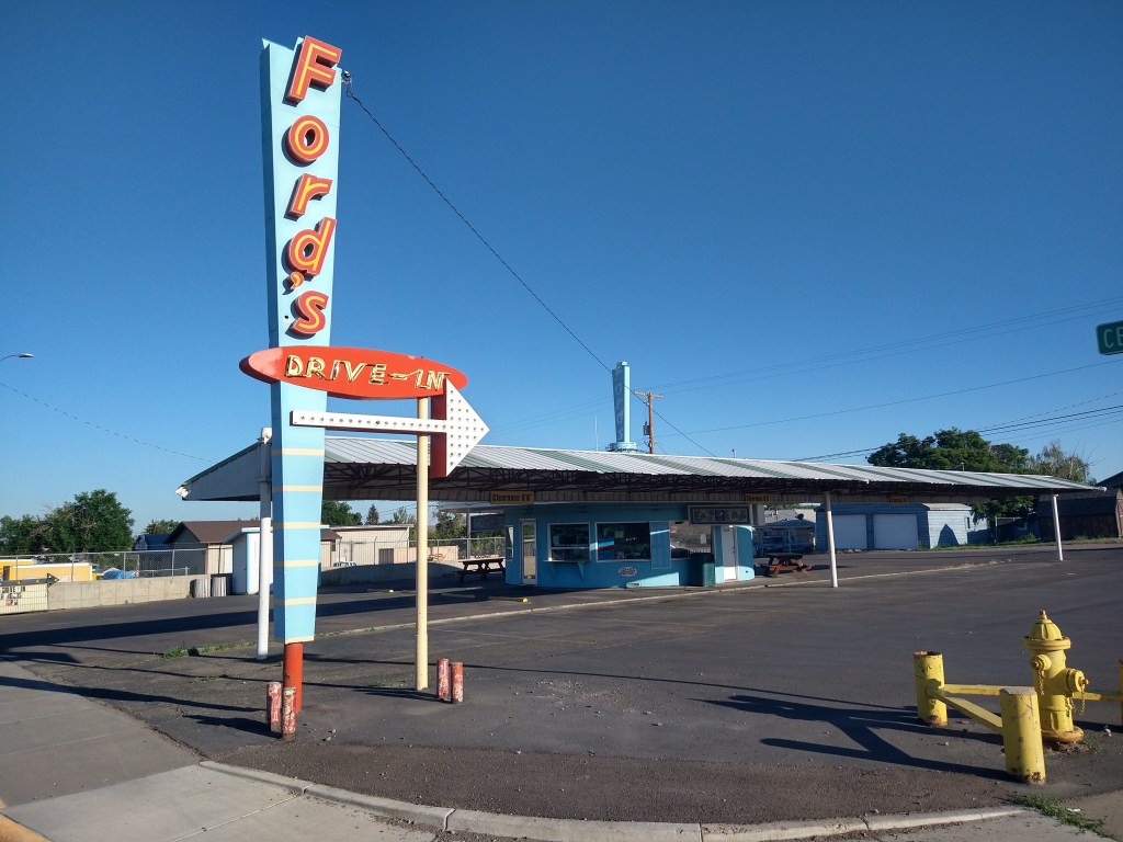
The story of today was hills, wind and heat. I’d decided to reach Missoula in two days, and the first step of that plan was to get to Lincoln. Leaving Great Falls at 7:15, I had a short ride out of town but took some pictures along the way.
The big concern was the lack of services after the town of Simms. There was a 50-mile gap between Simms and Lincoln, with an elevation change of about 2,000 feet. This meant a lot of work for me without a chance of replenishing water and food. Fun.
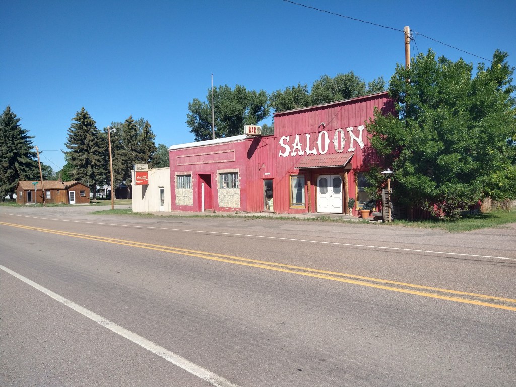
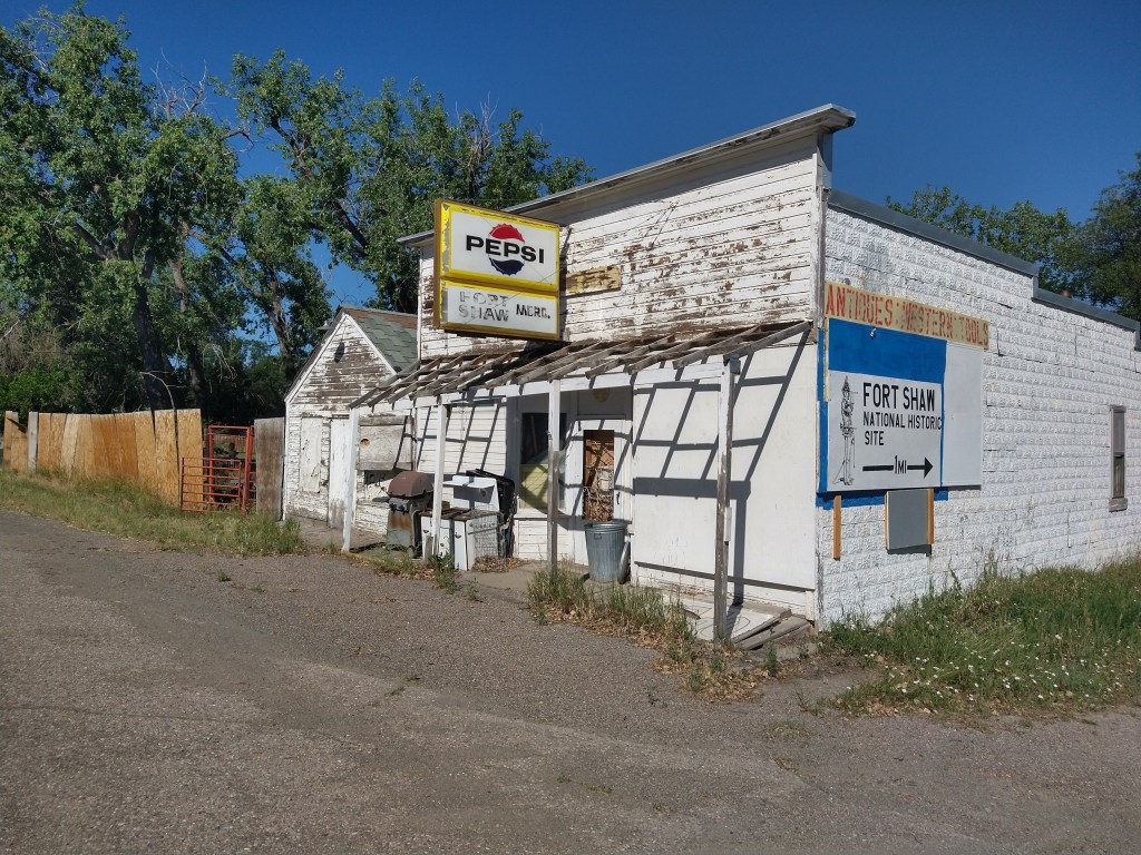
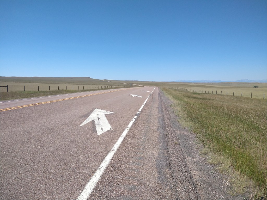
The route to Simms featured the long, straight roads I’ve become accustomed to in Montana, as well as the small towns of Sun River and Fort Shaw.
When I arrived at Simms, the owner of the store had made sure to notify his potential customers that there were “No Services for 55 Miles” on the sign outside. This warning gained him my business, as I stocked up on water and food for the ride to Lincoln. I’d begun the trip weeks ago carrying 3 water bottles but was now hauling around 6 due to the distances between towns. I thought that was enough.

When I know I’m not going to see a town for 4 or 5 hours, it’s important to keep a steady pace and stay focused on moving down the road. Lingering in the wilderness doesn’t help and may make a problem worse if trouble develops along the way.
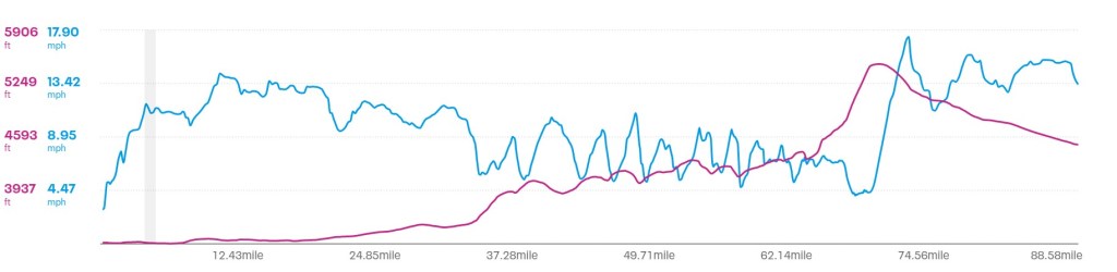
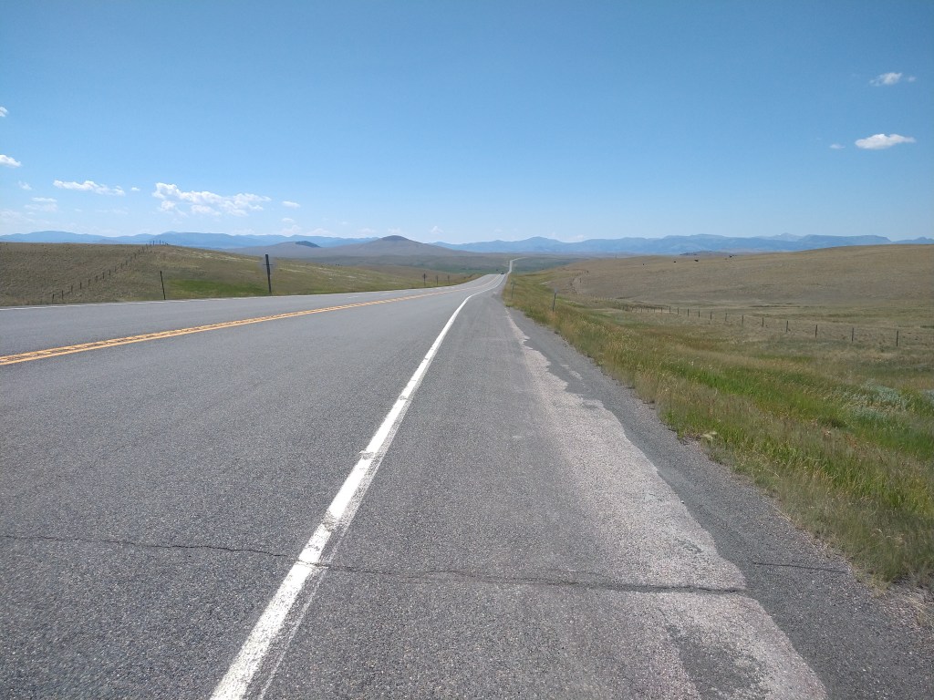
If you look at the elevation profile chart, you’ll see a long climb from 20 miles to 70 miles. You’ll also see that the general direction was to the SW, which was exactly the direction of the wind. Uphill is tolerable, but uphill and against the wind sucks. I’d experienced this in eastern Montana on the ride to Circle, but that was 50 miles with less climbing.

About 30 miles from Lincoln, I began to get concerned about my water supply. I had three bottles left and decided that I’d finish the last one when I got to the Continental Divide. I’d then use the downhill on the other side to increase my speed into town for a faster resupply.
I’d been going up and down all day, but as I got closer to Rogers Pass the road transitioned to a segment of pure uphill for several miles. Not super steep, but consistent. My GPS indicated I was approaching the summit, but after rounding several curves with another one immediately in view, I wasn’t sure when it would show up. Finally, I looked ahead and the road wasn’t going up anymore.
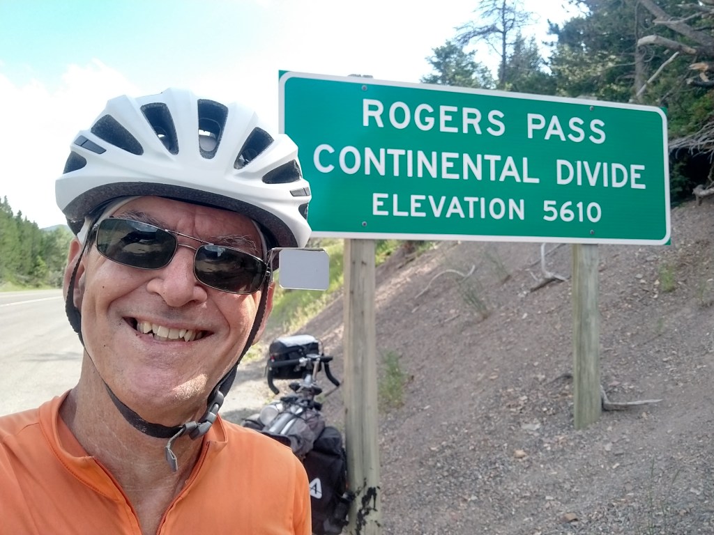
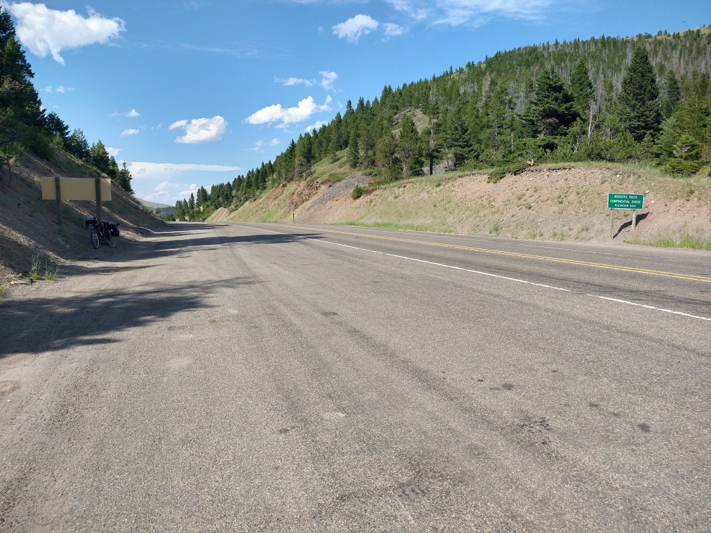
I drank my last water bottle at the summit, then started downhill to cover the remaining 19 miles to Lincoln. For a while I was moving well, but the continuing headwind made pedaling a requirement on some of the less steep terrain. When I arrived in Lincoln, the first stop was a convenience store. I bought and consumed an orange juice, bottle of water and Coke, then bought one for reserve.
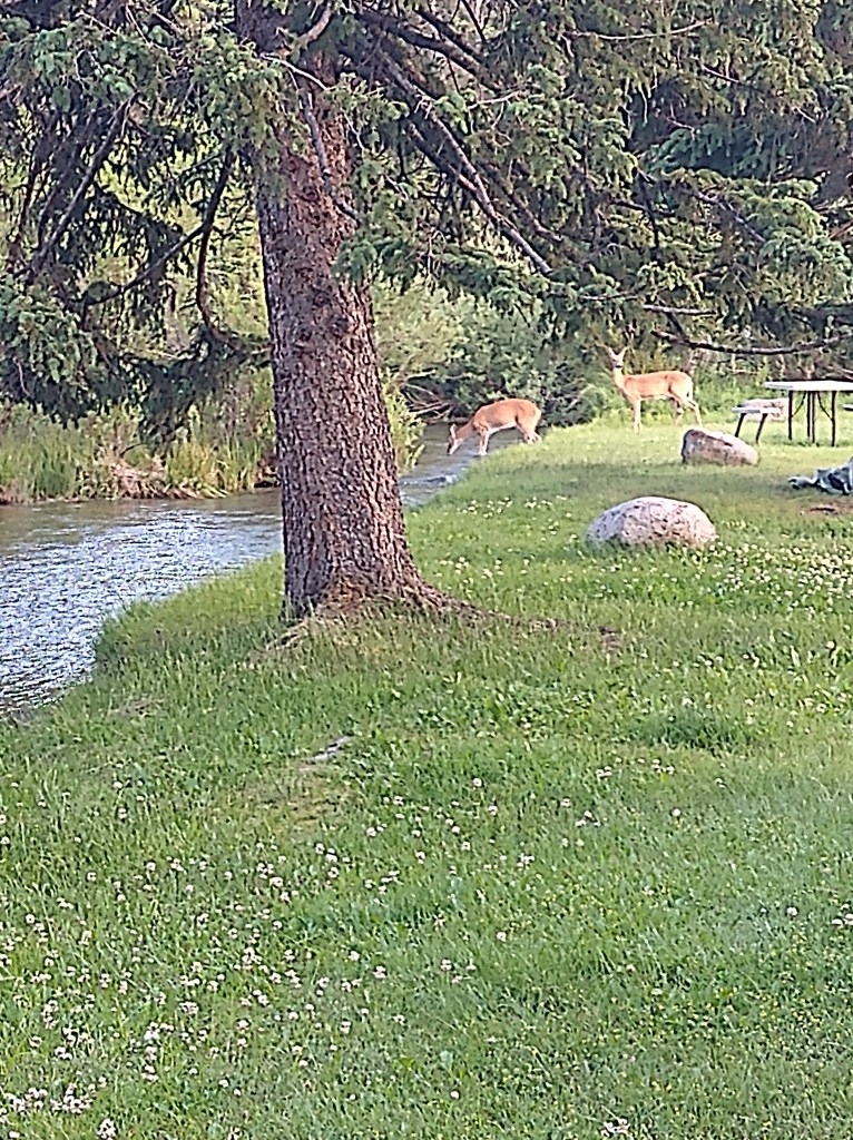
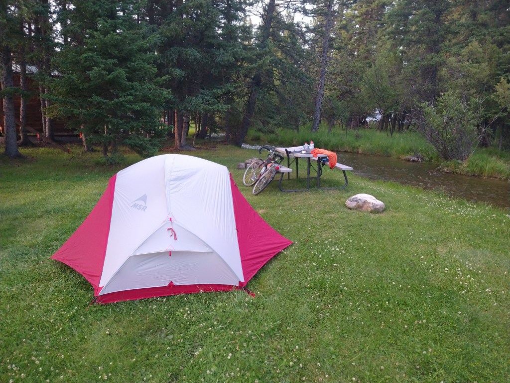
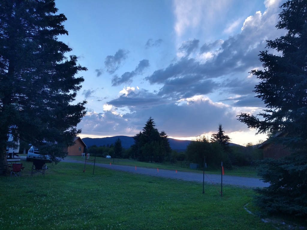
I found the campground at the edge of town and pitched my tent next to a stream. A group of 5 deer gathered there for a drink and then headed back into the woods. They showed up again later and apparently have no fear of people. I didn’t feel like walking back into town for dinner, so feasted on Teriyaki beef jerky and trail mix. It was enough.
It was a tough day, but a successful one. I wanted to position myself for an arrival in Missoula tomorrow, and that was accomplished. Lincoln to Missoula looks like another 80-mile day, but mostly downhill, so time on the bike should be less. We’ll see.

Wow. As difficult as this day was (and it seemed plenty tough), you would’ve seen and experienced none of this had you decided to stay home. As Teddy Roosevelt would say, you are the man in the arena. By the way, the elusive peak you were looking for reminded me of riding my motorcycle across Death Valley. I made the mistake of getting a late start and didn’t realize that when I was in the basin of it, it got dark earlier due to the Sierra Madre mountains blocking the sun to the west. After the sun went out completely, it became supernaturally dark — darker than anything I could recall — and on top of that I had to face miles and miles of switchback turns where there were no guardrails and sheer drops off the mountains. Every turn petrified me. I was riding at 10 miles per hour on the center line and with my brights on and I kept waiting and praying for the last curve. Finally it arrived and I was on a plateau. Thirty miles in the distance was the glow of the closest town, Lone Pine, and it was like I’d been thrown a lifeline. You must’ve felt the same when you reached the top. Good on ya, mate!
LikeLike
Wow, that was a tough day. Uphill and into the wind is a killer. I know that feeling of rounding a corner and still seeing an uphill grade. And then having to pedal downhill, that’s a slap in the face…………. Keep up the good work, both riding and writing.
LikeLike
Good luck on your ride to Missoula, a very nice town. Hope you have a chance to stop by the Adventure Cycling offices and visit, maybe get your picture taken for posterity!!
💪
LikeLike
Can’t even imagine the work to get over the divide. I get whipped just trying to make it up some of the hills in Ohio and have to walk, LOL. Well done. That campsite looked pretty sweet and probably felt pretty good at bedtime. Stay safe and enjoy your adventure as you finish of the last couple of states.
LikeLike
crossing the divide had to be among the most interesting parts of your bike tripl
LikeLike
Those towns that you zipped by look very appealing. Fort Shaw, a ghost town. I wish there were some where I go walking 🚶♂️.
Congratulations on making it to the Continental Divide!.
Later, Trek on!
LikeLike