Lochsa Lodge, Idaho to Kamiah, Idaho – 97.2 Miles

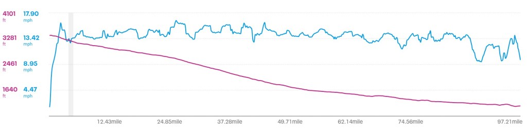
When fellow cyclist Ian told me that it was all downhill to the west, I almost couldn’t believe it. The red line on the graph above proves he was right. Lolo Pass had been about 5,200 feet, with Lochsa Lodge about 2,000 feet lower. So, there was still elevation to use, but I had doubts it would be available all day. Before heading out, we all met for breakfast at the restaurant.

I got up early but left late. Whether it was overconfidence in knowing that winds were favorable and it was all downhill, or just lack of concentration, it was after 10 when I got on the road. Fortunately for me, Ian was correct. I was speeding along for the first several miles, which got me motivated to keep it going. The note of caution for the ride was that there were no services available for 65 miles, which meant carrying everything needed to eat and drink for that length of time.
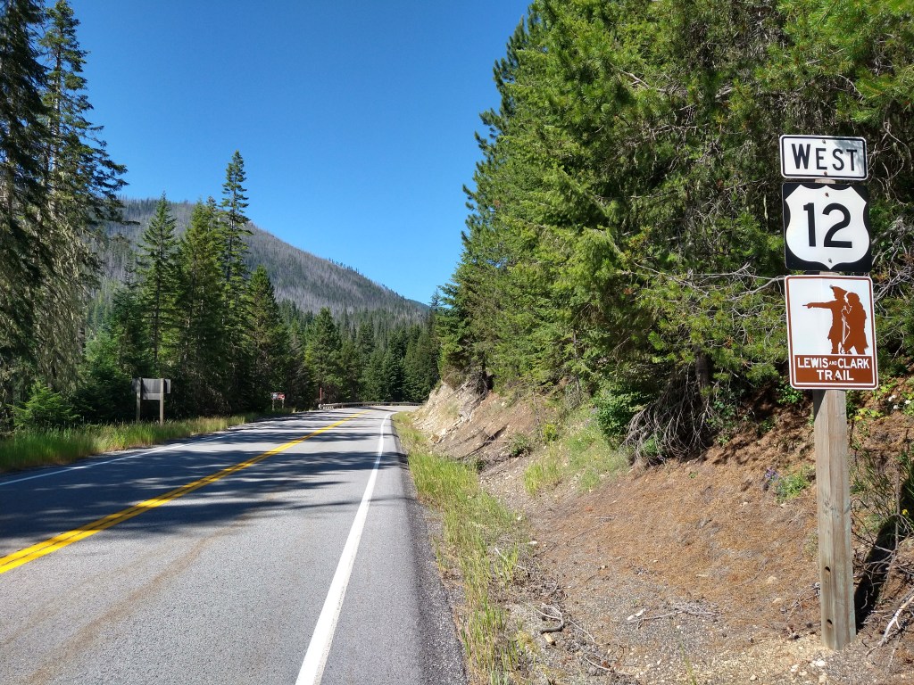
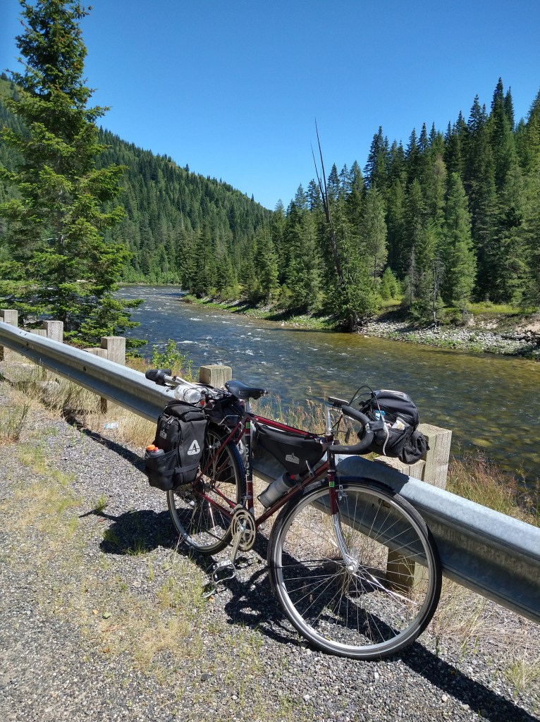
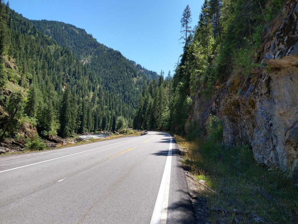
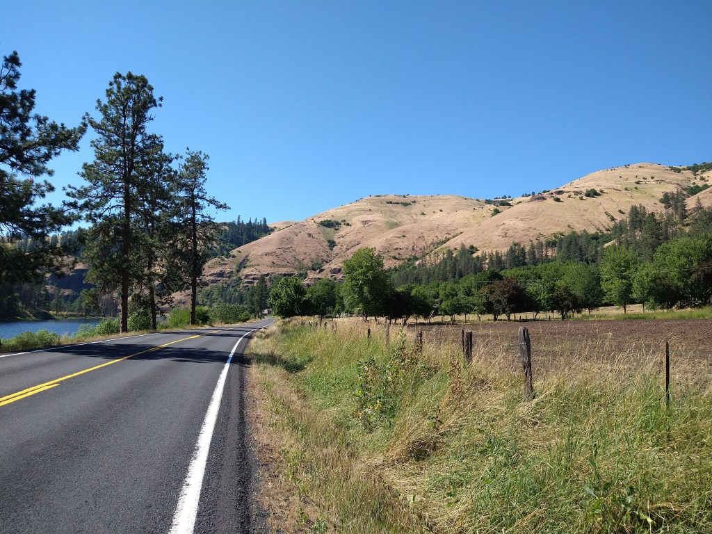
There were three components to the scenery today: Trees, the Lochsa River and mountains. That’s it. As beautiful as it was, it was difficult not to take the same picture in many different places. Experiencing it in person is wonderful but looking at what appears to be the same scene over and over may not be that entertaining to this audience. What I’ve posted will give you an idea of what’s there, but you’ll have to come to Idaho to appreciate it fully.


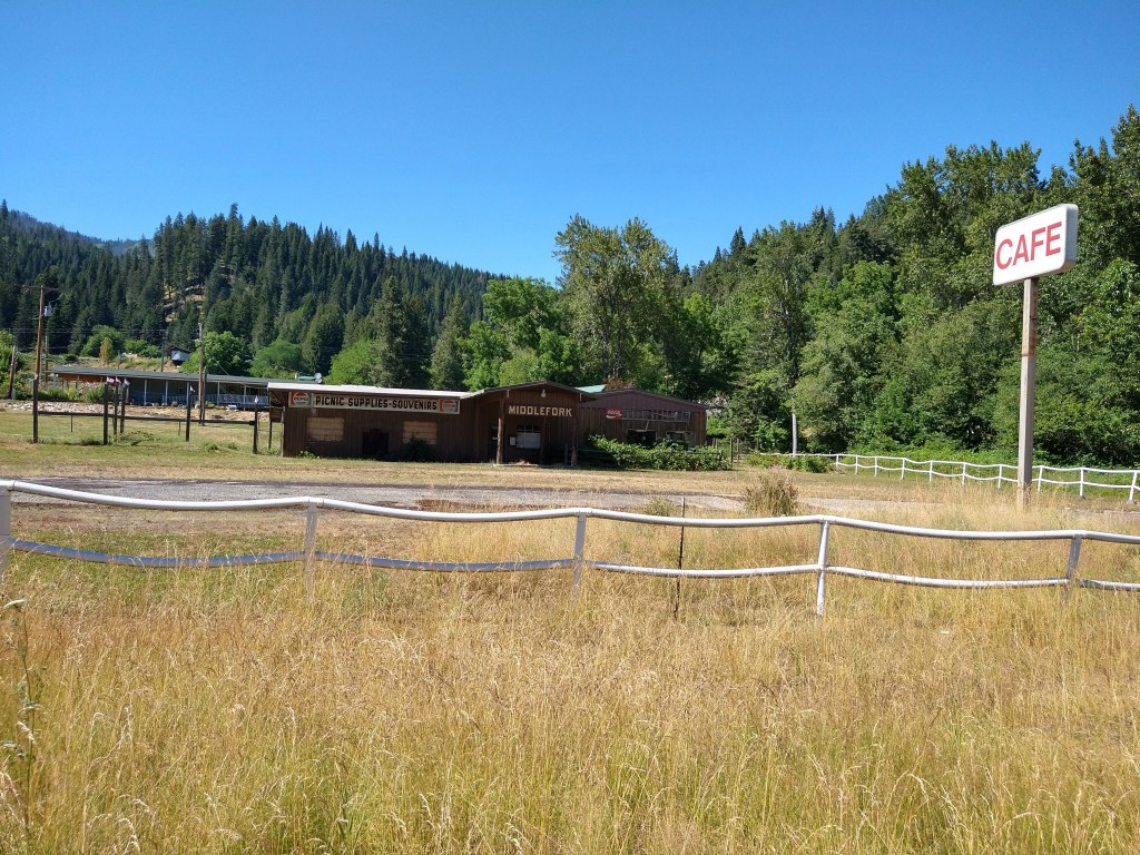
The “town” of Lowell was listed as the first supply stop 65 miles along, but that wasn’t completely accurate. They did have a motel and campground with a cafe, but no store. I got there around 2:30 and kept going. My water was holding up and snacks were good. I headed seven miles down the road to Syringa. Syringa was supposed to have a restaurant but didn’t. It was closed and there was no store.
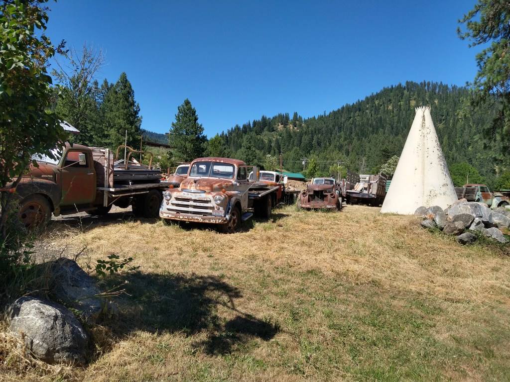
They did have a field with many old trucks parked in it. That was worth a picture.
The trees started to disappear from the hills after I passed Syringa.
The towns of Kooskia and Kamiah are seven miles apart. I was planning on staying in Kamiah, which is larger, but when I got to Kooskia I rode into town to see what was there. They had everything I’d need, but the hotel that was listed was no longer in business. It was on to Kamiah.
Following the usual routine, I checked into the Clearwater 12 motel, cleaned up and went to dinner at a nearby Mexican restaurant. After tenting the last three days, and having no phone connectivity for two days, it’s nice to be back in touch.
Destination for tomorrow is Lewiston, Idaho. It’s around 70 miles away and will be the access point to Washington and Oregon very soon.

Way to go Kevin! Beautiful country up there, the entire area you are riding through now was occupied by the Nez Perce tribe and Chief Joseph many years ago. The tribe thrived for years throughout Idaho and Montana before white settlers came through. Chief Joseph was a pretty amazing leader that I’d recommend reading or researching about. Since your pack is light and you’re on the move below is a podcast link with a brief history of the Chief and the Nez Perce people. Hope you enjoy!
https://podcasts.apple.com/us/podcast/chief-joseph-of-the-nez-perce/id1356876123?i=1000423049178
LikeLiked by 1 person
Thanks, Matt. I’ve seen many Nez Perce historic sites and markers along the way. Their story is legendary. I’ll check out the podcast soon!
LikeLike
Nice to see you are able to post again. I figured there might have been a wi-fi problem.
Idaho,looks very scenic! They sure have great rivers out west!. It is also quite warm in Florida. Usually around 94-97 with humidity in the 74% region.
You should have stickers made up that say “Kevin rode past here”.
Eventually when you make it to the Space Needle look for the Lewis and Clark sticker.
Later
LikeLiked by 1 person
Beautiful scenery everywhere you look. I really need to make it out there someday. Downhill must be feeling pretty good. 🙂
LikeLiked by 1 person
Wooooooohooooooooo! Did you swim in that River? Are you taking The Old Spiral Road into Lewiston? I love reading about all of the cool people you are meeting. 😁👍
LikeLiked by 1 person
Beautiful scenery makes for beautiful photos. Idaho looks a lot like Western Washington. Well how fast did you get up going downhill? Faster than sugarloaf mountain? Ian and I were debating if this will be your new normal. Like a southern tier next year? I guess Boone, Hamilton and Marion counties won’t keep your interest in August.
LikeLike
Thanks!
LikeLike
The scenery is excellent and well worth a return trip in a faster, air-conditioned vehicle.
LikeLike