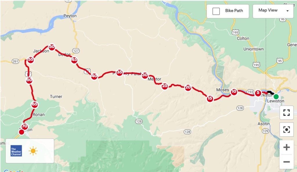
Lewiston, Idaho to Dayton, Washington – 70.4 Miles
If I hadn’t been so close to the TV at breakfast this morning, I might have found out that it was going to be hot and windy on my own. Instead, the local weather person kept emphasizing those “extreme conditions”, which were then commented on by other diners in the room as if it were Dante’s Inferno. The meteorologist suggested that people stay inside, go swimming or avoid the sun, but none of those options would get me any closer to the Pacific. After locating the last map of the Lewis and Clark set, Clarkston, Washington to Seaside, Oregon, it was time to go.
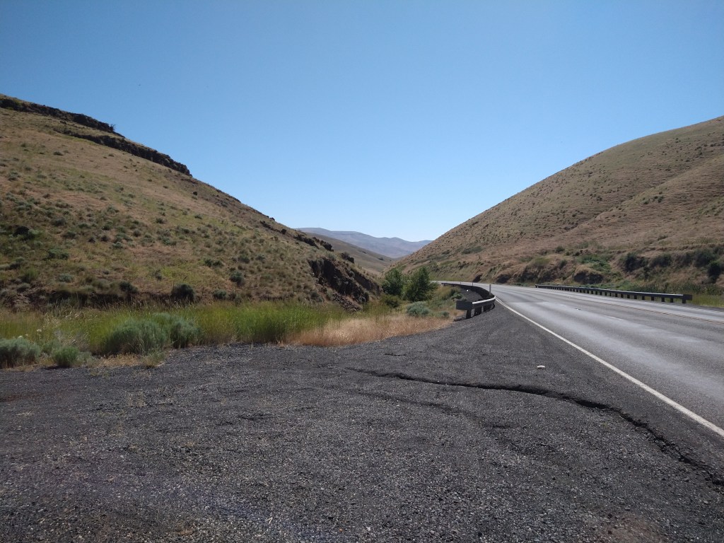
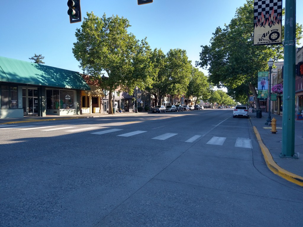
The route out of Lewiston took me along the banks of the Snake River, where early risers were jogging, hiking or walking their dogs. Compared to the Lolo Pass a couple of days ago, the number of man-made objects had increased substantially, which gave me more subjects for pictures.

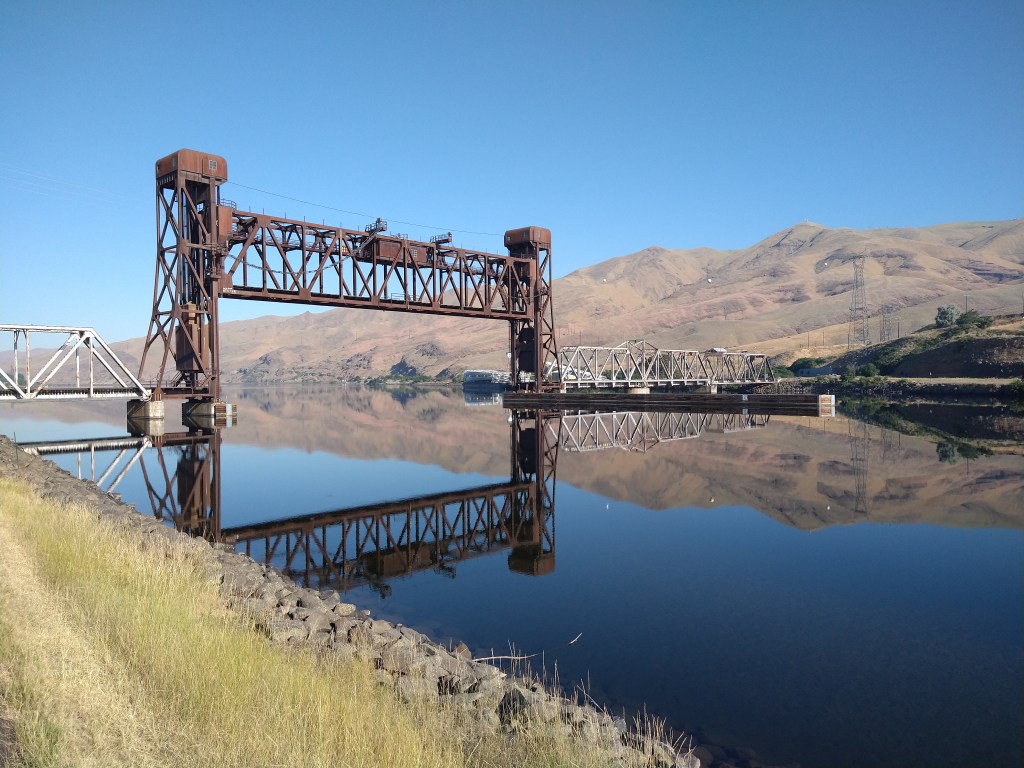
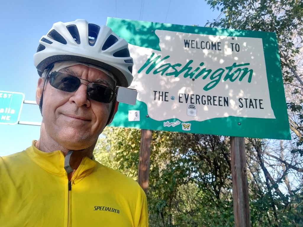
It took about twenty minutes to add another state to my list. Just across the river was Clarkston, Washington. I’ll be passing through the southeastern corner of the state for about 100 miles, before turning south into Oregon.
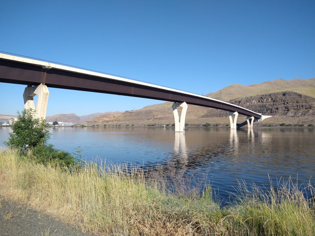
Washington at this point looked a lot like Idaho. But they did have a cool bridge.
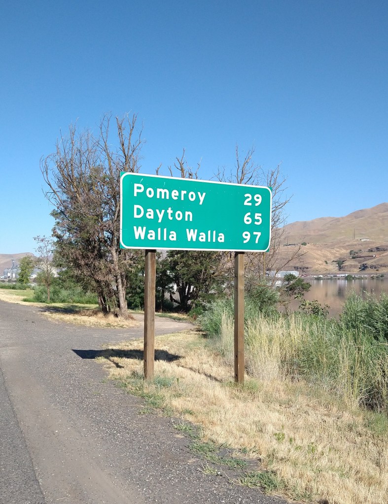
There were only three towns worth thinking about along the route. Pomeroy was too close to Lewiston to use as an overnight stop, but it was the first and only supply point until Dayton. Riding to Walla Walla was a remote possibility, if everything broke just right.
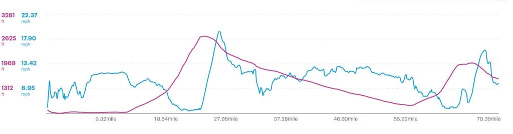
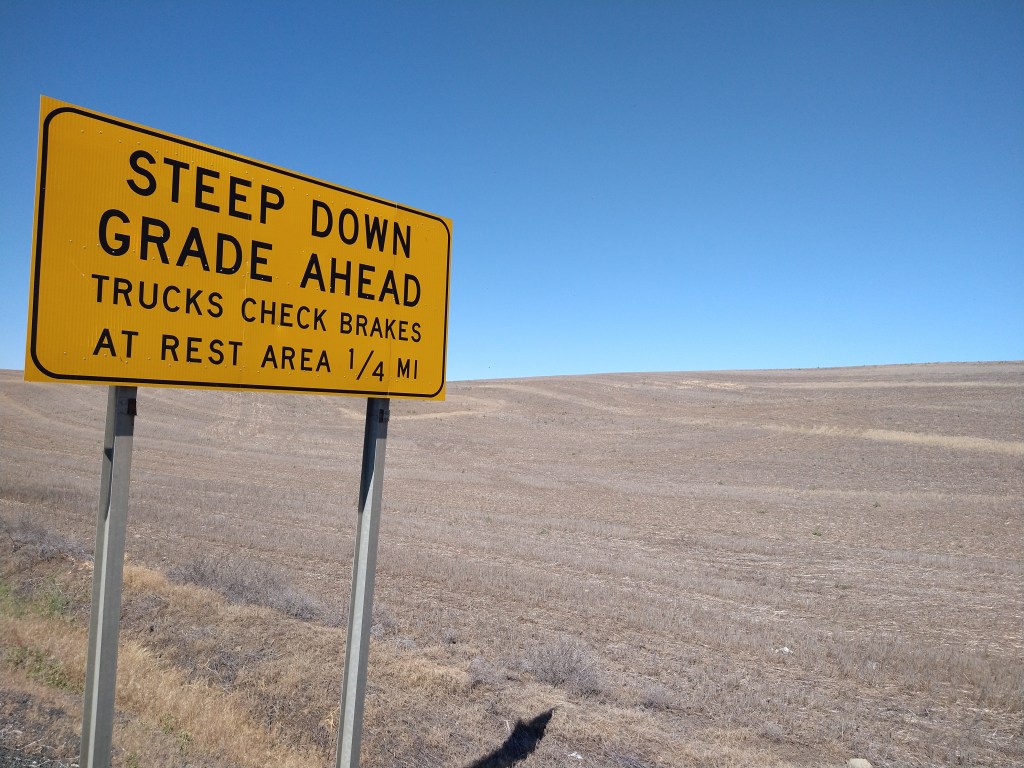
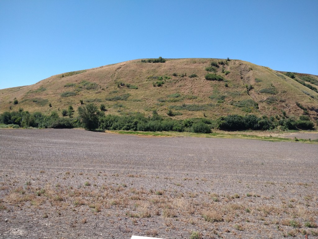
The concern today, other than the aforementioned heat and wind, was a big climb of over 1,500 feet about 15 miles out. I began to get an idea of what I was facing when the mountains appeared in front of me.

I was moving along well at the beginning of the climb, and thinking that it might be easier than I thought. That notion disappeared as the grade increased and I had to drop to a lower gear. The effort involved was constant, resulting in a speed of 5-6 mph and a couple hours of the day gone.
I could see the tops of the hills getting closer as I worked my way up. Eventually, there was more below than above.
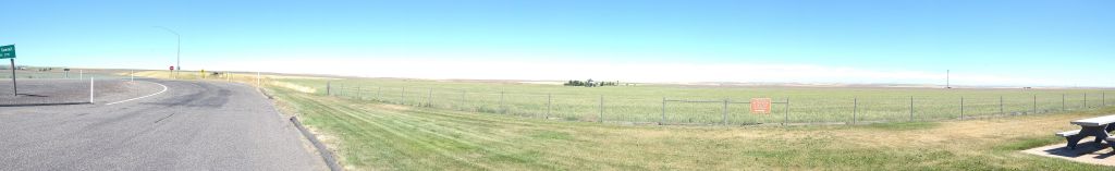
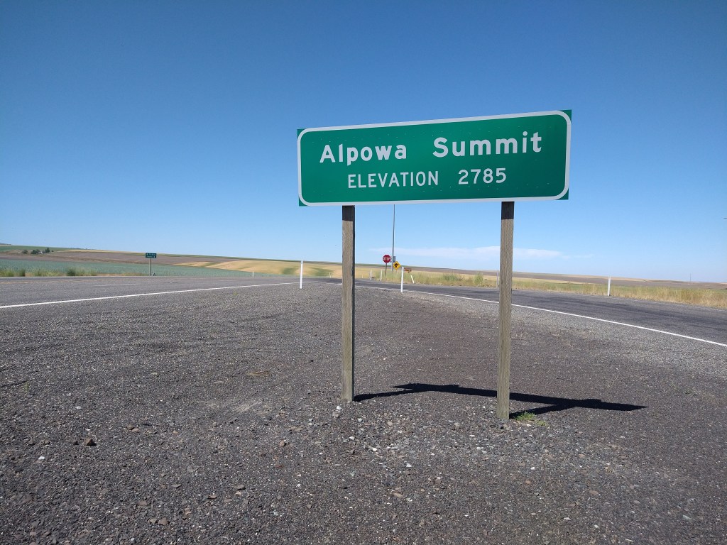
When I reached the summit, the land had flattened out completely. Someone had built a house there, but a rest area was the only other feature.
The expectation after a long climb is an enjoyable and effortless descent of equal distance. Nope. I flew down the road for three miles, then it flattened out and a headwind stalled my progress. Not fair. Luckily, the terrain shielded me occasionally and using a lower gear helped me get through the tough spots.
A historical marker between the summit and Pomeroy detailed the system of trails used by the Indian tribes and Lewis and Clark. The trail system was developed by the tribes for their own use and became a standard route for getting from place to place for centuries. The hillside still has traces of the old trail about a third of the way down from the top along a diagonal.
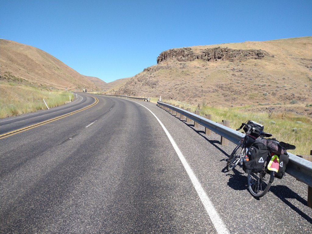
Out in the country on the road to Pomeroy.

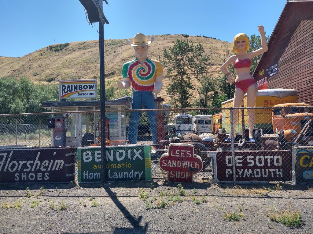
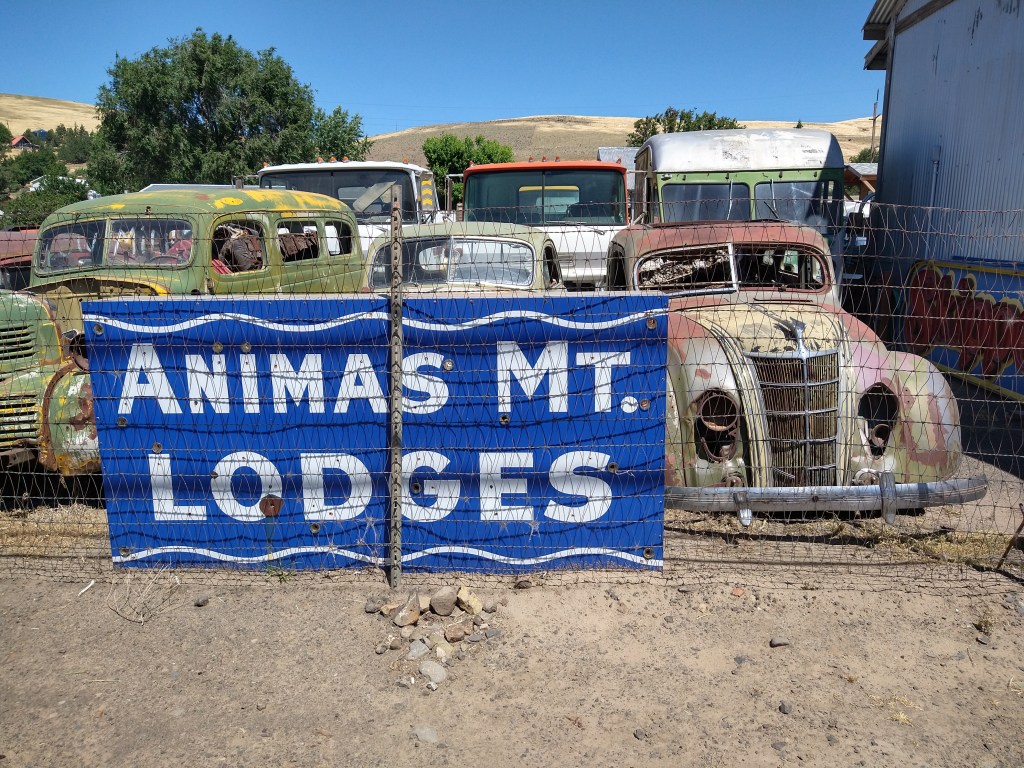
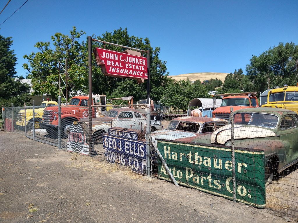
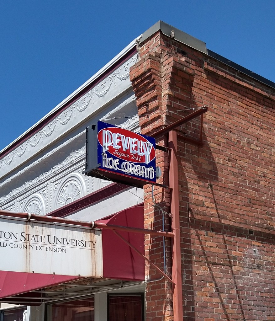
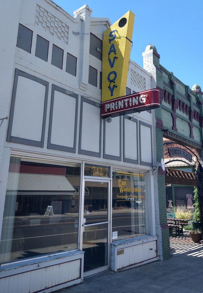
My expectations for Pomeroy were only food and water. It’s difficult to tell by a brief map description what might be found in any town, but the basics are expected. I’d mentioned a few days ago how much I enjoyed a model of a large steer used as advertising for a local business. Pomeroy was the mother lode for mid-century promotional curiosities and signage.
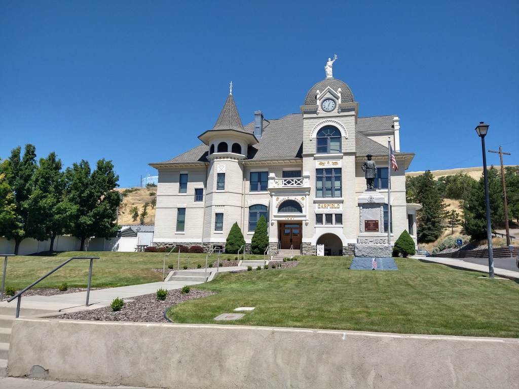
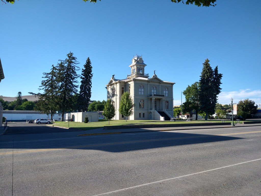
They had a nice courthouse.
There were some classic signs on buildings downtown, which mostly had nothing to do with the current business.
As I left Pomeroy, it was 36 miles to Dayton. With plenty of supplies now, I wasn’t worried about starving, but another major climb was coming up. The wind was still blowing against my westward direction, so I didn’t expect a quick arrival.
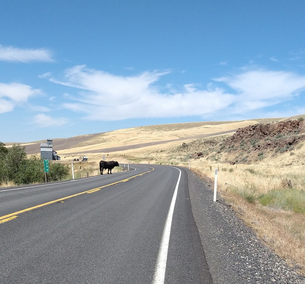
I’ve become used to seeing cattle behind fences, but the one that appeared on the road in front of me obviously wasn’t. He ambled over to a ditch on the right, then headed down the road along the fence. I hope he got away.
There were kids out here a long time ago, and they needed a school. This one dates from 1920.

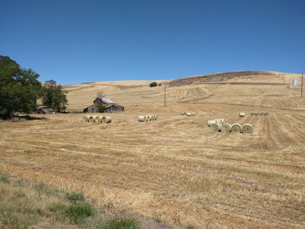
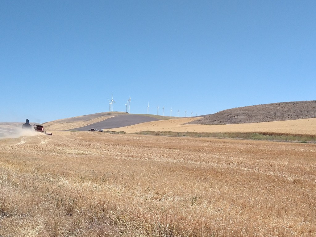
I wasn’t aware that western Washington grew grain, but the fields and elevators reminded me of those I’d seen early in the trip. The terrain is not as flat here, but they get the job done.
Shortly after the last picture was taken, the road started going up again. It wasn’t as steep or long as the morning version, but over 50 miles into the day it also wasn’t as easy. It took about an hour to get to the top, but it was a mirage. I started downhill at a good speed, looked ahead and saw the road rising again after a 200-foot drop. That was frustrating. I climbed back out of the hole, and the next downhill propelled me into Dayton.
One thing I immediately noticed was that the landscape was green. I was on the side of the mountains that got the rainfall now, and that made a difference.
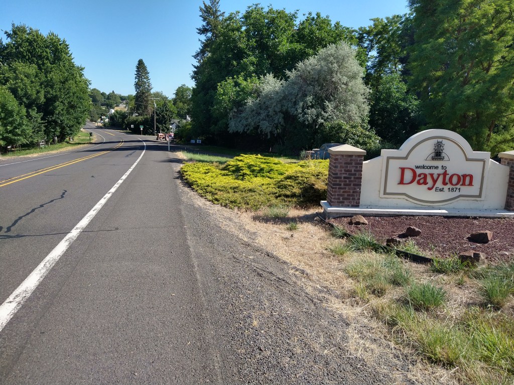

After checking into a one-star motel and touring the town, an overpriced Mexican restaurant provided dinner. It’s likely I’ll be in Oregon tomorrow and heading for the coast next week. Looking forward to seeing what’s ahead.

Kudos Kevin for getting to the last map and completing a challenging day!
LikeLiked by 1 person
Elvis caption – 10 out of 10!
LikeLiked by 1 person
Other than a tougher day in the saddle Day 54 was a great one for sightseeing!!! Ur descriptions made me feel like I was there too! B-utiful scenery…….keep on peddling, WESTWARD HO!!! (Feeling like you want 2 bike back yet? I’m serious….)🚴♂️🚴♂️
LikeLiked by 1 person
Those mountain climbs along with the opposing wind would be my nemesis. I hate both when cycling. LOL Well done for pushing through on day 54. Last map, that has to feel g o o d!
LikeLiked by 1 person
« Eventually, there was more below than above. » Classic, concise optimism. Love it!
LikeLike