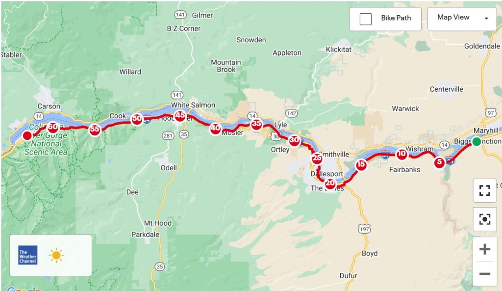
Biggs Junction, Oregon to Cascade Locks, Oregon – 62.3 Miles
Today I spent time on two roads: Interstate 84 and Highway 30. Sometimes they’re the same road, and sometimes not, but they both head west and I’m all for it. I-84 makes it easier to get between two points, with a shoulder as wide as a regular lane and very manageable changes in elevation. Highway 30 was the original east-west route across Oregon and wanders around in different directions while going up and down a lot.
The Adventure Cycling Association loves to put people on back roads, but that may come at a cost to the rider. Any time the map shows a squiggly path across several topographic lines, beware. That’s usually an indication that you’ll be spending some time slowly climbing hills. If you’re going for a high mileage day, looking for an alternate route may be a good move. With just over 60 miles to ride this morning, I didn’t need to deviate from the map, but it was tempting near the end.
I left Biggs Junction at 10 and was out in the country two minutes later.


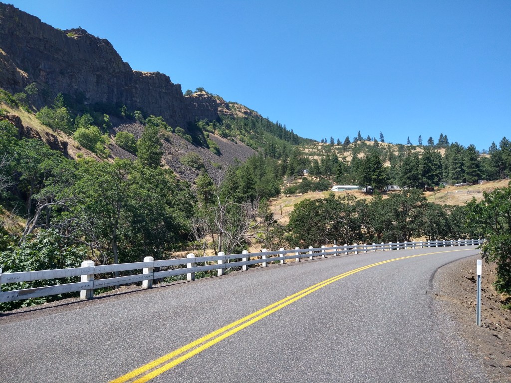
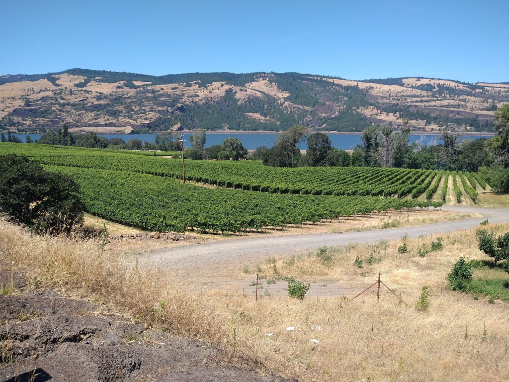
The route was planned to follow the Columbia River, either along it on Interstate 84 or slightly above it on Highway 30. The early miles were along the Interstate.


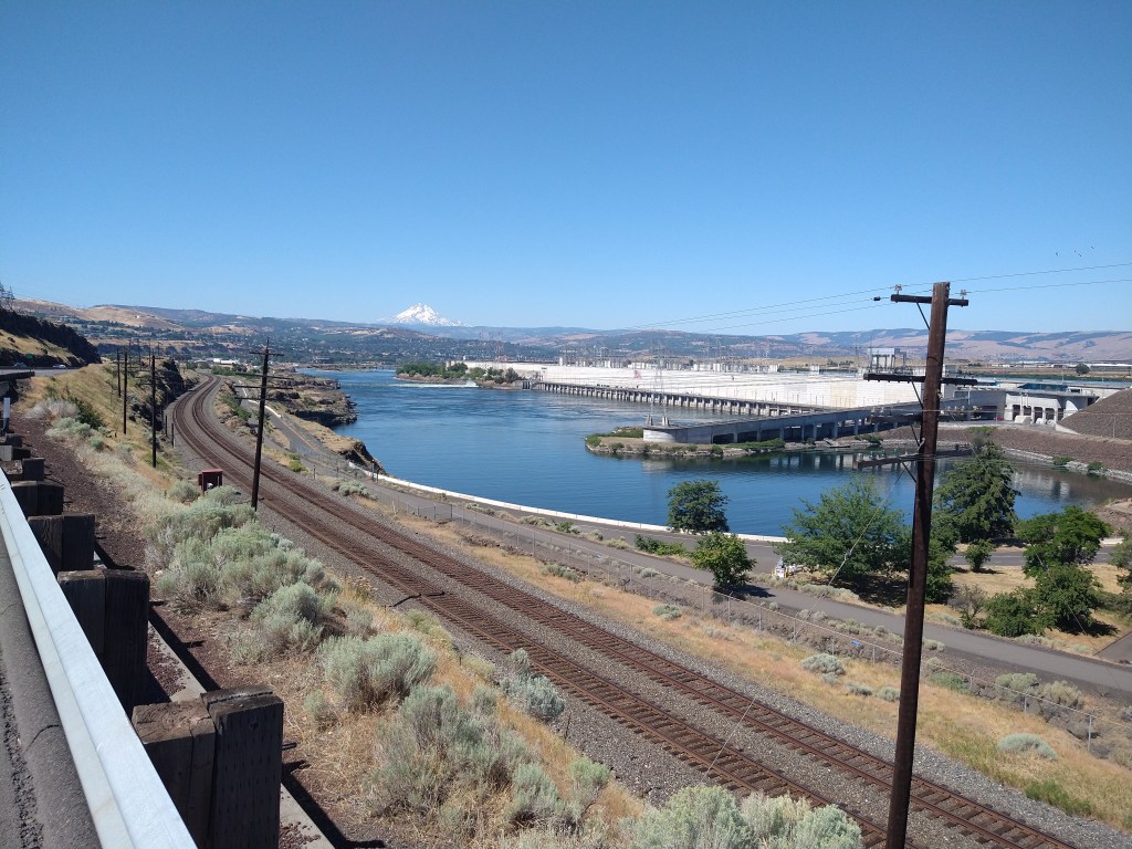
Twenty miles into it, I got to The Dalles, derived from a French word indicating rapids in the river. In true Adventure Cycling Association fashion, the route went everywhere but the shortest distance to the point I was trying to get to. I saw some nice things but had to work for it.

After riding through town, I was off the Interstate and on Highway 30. The roads run parallel to each other often, so the sound of traffic never quite goes away, but it’s much more peaceful
I arrived in the town of Hood River along Highway 30, grabbed a banana milkshake at “Mike’s”, then got back on I-84. The reason for that was to avoid some late day climbing of several thousand feet. It would have been scenic, but my late start and yesterday’s efforts uphill and into the wind made me feel that I’d rather finish a little earlier today.


There were two possible exits for Cascade Locks. One was east of town, coming in on Highway 30, while the other was on the west side. If I got off at the west exit, I’d have to double back to the campground. If I used the east exit, I’d just ride past it. So, I got off I-84 on the east side and onto Highway 30.
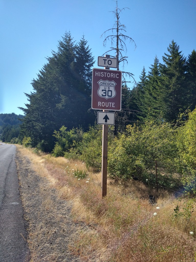
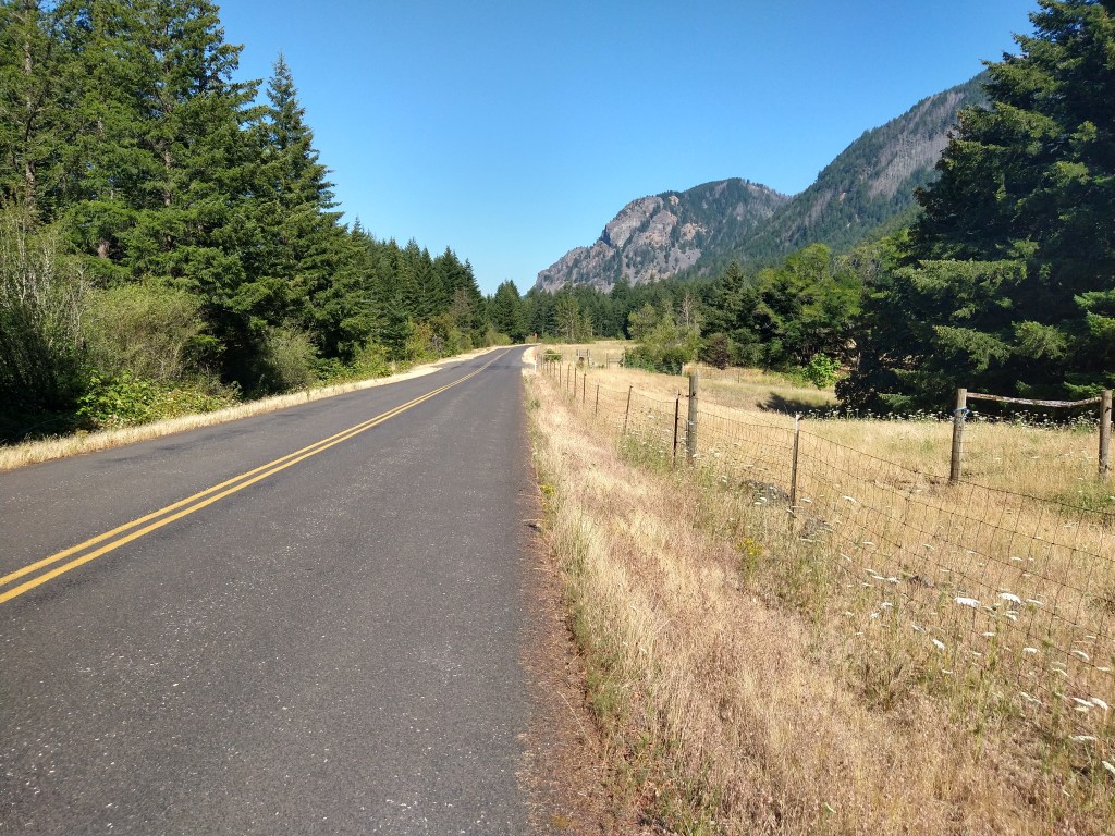
I was on a 400-foot climb within a few minutes of leaving the Interstate, but I figured I’d make the time up on the downhill and the more direct route.
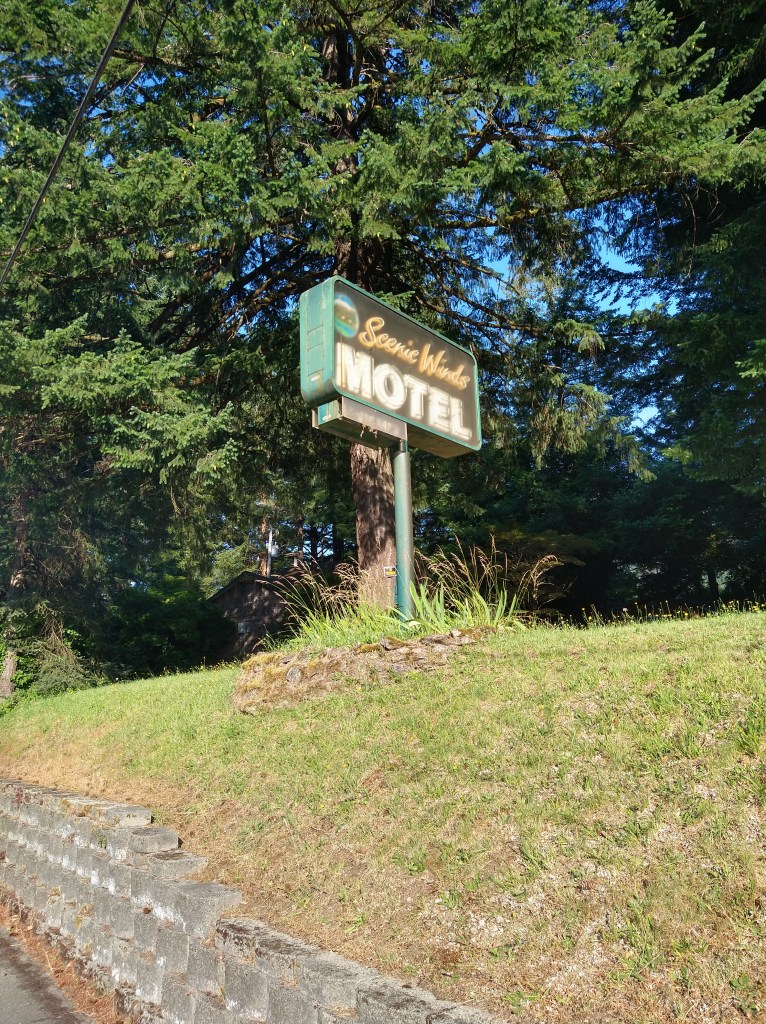
The climb wasn’t bad, but I couldn’t go full speed on the downhill because the combination of late afternoon sun and shadow made it hard to see. I kept the speed low until the road flattened out. Fortunately, this sign showed up shortly afterwards:

KOA charges a premium price for tent camping, but their customer service, facilities and general cleanliness are worth it. After setting up camp, Ishmael and I rode into Cascade Locks for a look around.


Cascade Locks has about 1.200 people and makes a living from tourism. I helped them out by eating at the local hamburger place.
It was a quiet day today, with no sign of other cyclists in either direction. Those that have left from the West coast are likely crossing Montana or North Dakota by now, and the ones ahead of or behind me I probably won’t see. Tomorrow I’ll be passing through Portland and beginning the run to the Pacific.

You’re almost there!💪
LikeLike
Stunning views!
LikeLike
Wowza. Quite the travel. Enjoy
LikeLike